Channel & Berth Profile
Pilotage, Tugs & Services
Pilotage compulsoryYES
Pilotage advisableYES
Tug assistanceYES
Potable waterYES
MedicalYES
Garbage disposalYES
Facilities & Capabilities
ContainerYES
Ro-RoYES
Liquid bulkYES
Dry bulkYES
Oil terminalNO
Break bulkYES
Dry dockNO
RepairsNO
BunkeringYES
Rail linkYES
Dangerous cargo—
ISPS security—
Harbour Specifications
Harbour size
Large
Harbour type
River (Natural)
Shelter
Fair
Water body
Gulf of Bothnia; Baltic Sea; North Atlantic Ocean
Overhead limit
Yes
Pilotage
Yes
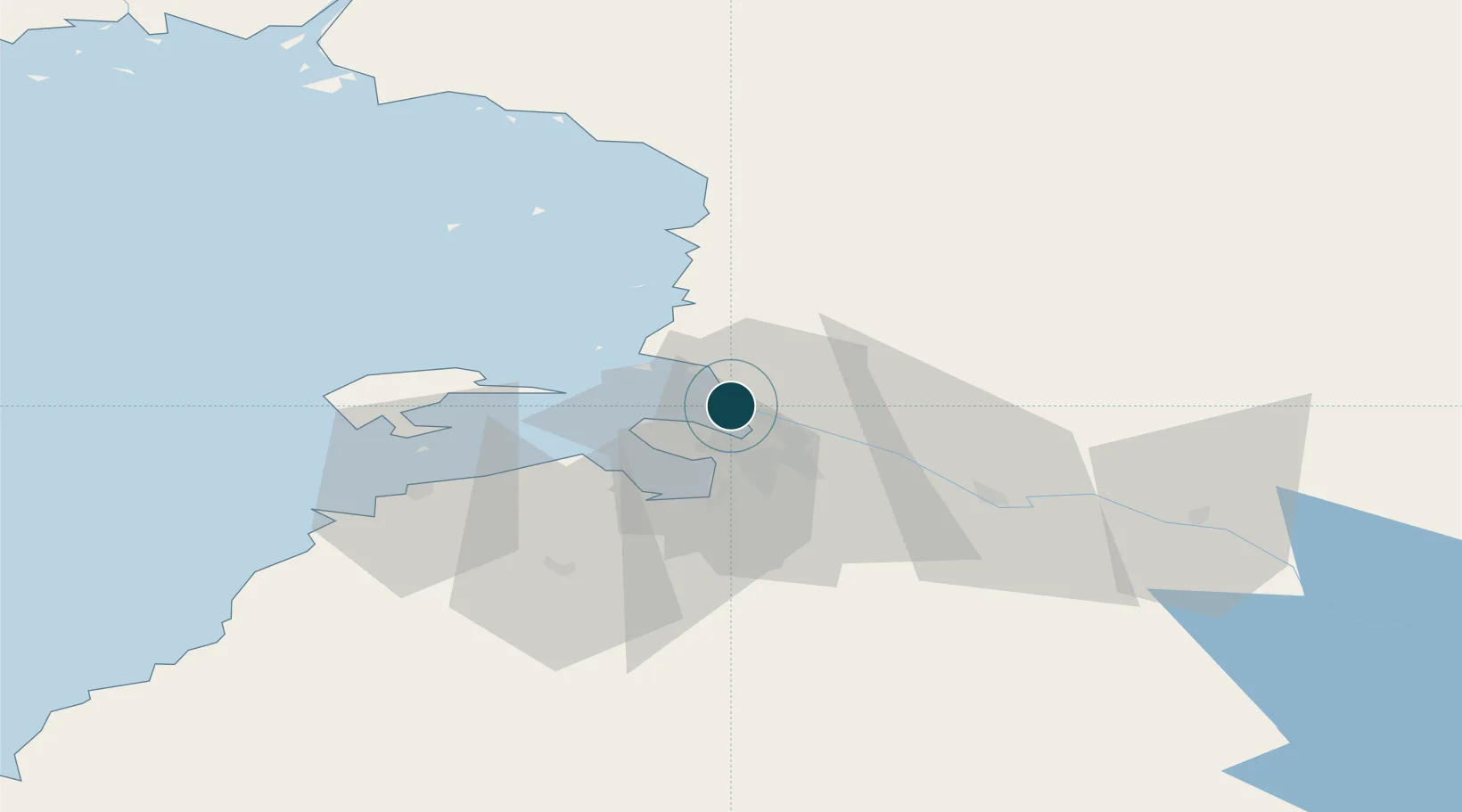
Location
Container Terminals · 1
OULU PORT
OULP HERMAN ANDERSSON OY
Nearby Logistics Neighbours
Ports
- 1Raahe59 km
- 2Veitsiluoto84 km
- 3Kemi89 km
- 4Tornio101 km
- 5Sandvik110 km
Cities
- 1Kempele12 km
- 2Varjakka18 km
- 3Halosenlahti24 km
- 4Hailuoto27 km
- 5Ruukki43 km
Airports
- 1Oulu Airport10 km
- 2Kemi-Tornio Airport93 km
- 3Ylivieska Airfield112 km
- 4Kajaani Airport136 km
- 5Luleå Airport163 km
Trade Zones
- 1Oulu Port Free Warehouse Area2 km
- 2Free Zone of Lappeenranta463 km
- 3Port of Hamina-Kotka512 km
- 4Turku Free Zone534 km
- 5Murmansk Special Economic Zone550 km
DatabookThe Record of Consolidated Knowledge
Finland beyond logistics?