UN/LOCODE hub · Finland
FIOUL
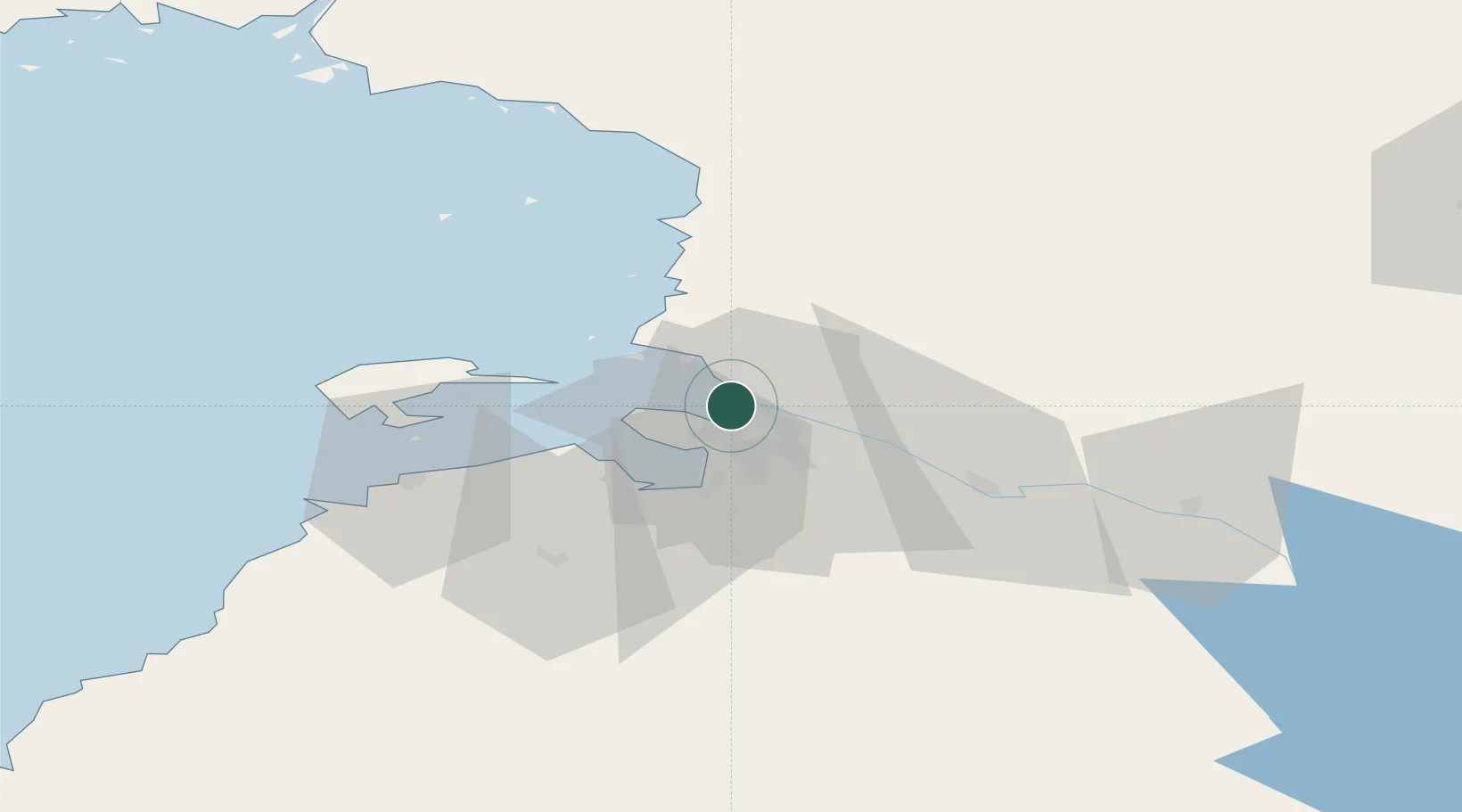
Oulu (Uleåborg)
64.9956°, 25.4165°
4
Transport functions
1
Container terminals
Transport Functions
Port
Rail
Road
Airport
Hub Profile
Region
14
Logistics facilities
2
Container terminals
1
Location
Nearby Logistics Neighbours
Cities
- 1Kempele9 km
- 2Varjakka17 km
- 3Halosenlahti27 km
- 4Hailuoto27 km
- 5Ruukki42 km
Ports
- 1Raahe59 km
- 2Veitsiluoto87 km
- 3Kemi91 km
- 4Tornio103 km
- 5Sandvik112 km
Airports
- 1Oulu Airport8 km
- 2Kemi-Tornio Airport95 km
- 3Ylivieska Airfield110 km
- 4Kajaani Airport134 km
- 5Luleå Airport165 km
Trade Zones
- 1Oulu Port Free Warehouse Area0 km
- 2Free Zone of Lappeenranta460 km
- 3Port of Hamina-Kotka509 km
- 4Turku Free Zone532 km
- 5Murmansk Special Economic Zone552 km
DatabookThe Record of Consolidated Knowledge
Finland beyond logistics?