Transport Functions
Rail
Road
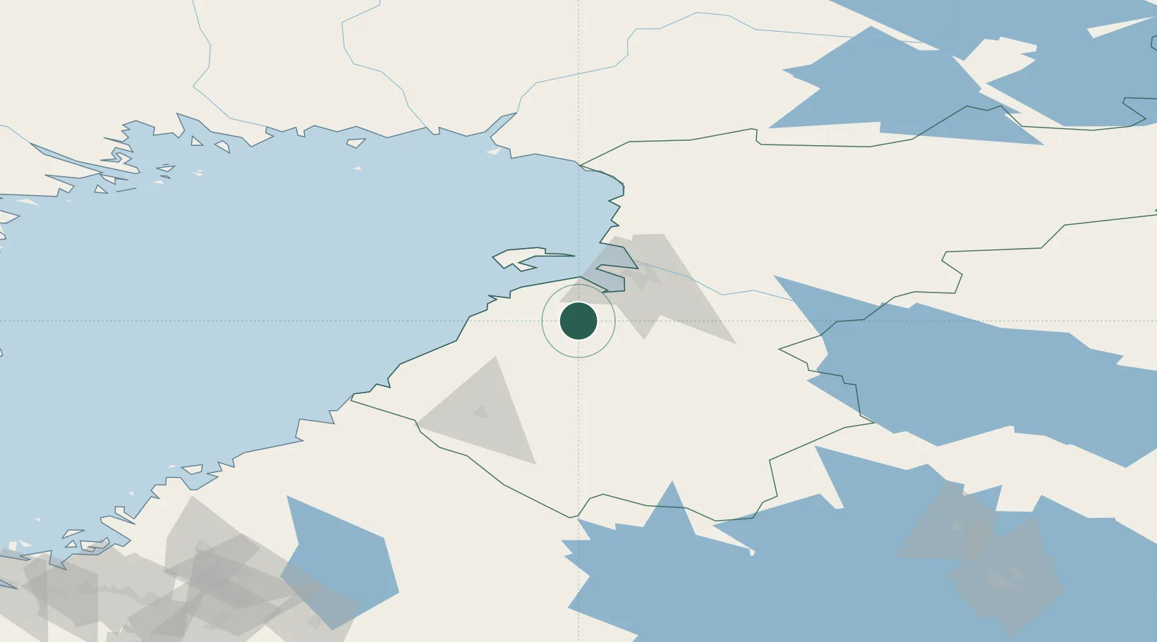
Hub Profile
Place type
District seat
Region
North Ostrobothnia
Population
4,386
Time zone
Europe/Helsinki
Elevation
48 m
Location
Nearby Logistics Neighbours
Cities
- 1Varjakka28 km
- 2Lapaluoto31 km
- 3Brahestad (Raahe)32 km
- 4Rautaruukki32 km
- 5Kempele35 km
Ports
- 1Raahe32 km
- 2Oulu43 km
- 3Rahja83 km
- 4Himanka100 km
- 5Veitsiluoto119 km
Airports
- 1Oulu Airport34 km
- 2Ylivieska Airfield68 km
- 3Kemi-Tornio Airport128 km
- 4Kajaani Airport131 km
- 5Kokkola-Pietarsaari Airport140 km
Trade Zones
- 1Oulu Port Free Warehouse Area42 km
- 2Free Zone of Lappeenranta430 km
- 3Port of Hamina-Kotka475 km
- 4Turku Free Zone490 km
- 5Freeport of Hanko548 km
DatabookThe Record of Consolidated Knowledge
Finland beyond logistics?