UN/LOCODE hub · Finland
FIKLE

Kempele

64.9167°, 25.4833°
14,293
Population
2
Transport functions

Transport Functions

Rail
Road
UN/LOCODE

Hub Profile

Place type
District seat
GeoNames
Region
North Ostrobothnia
GeoNames
Population
14,293
GeoNames
Time zone
Europe/Helsinki
GeoNames
Elevation
15 m
GeoNames

Location

Location of FIKLE
Natural Earth 10m (public domain) · North Ostrobothnia · FIKLE · 64.92, 25.48GoogleOSMYandex

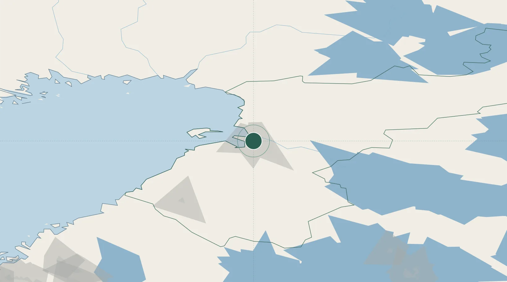
Nearby Logistics Neighbours

Cities
  1. 1Oulu (Uleåborg)9 km
  2. 2Varjakka17 km
  3. 3Hailuoto32 km
  4. 4Ruukki35 km
  5. 5Halosenlahti36 km
Nearest neighbours — logibook spatial index (haversine) over the source coordinates
Ports
  1. 1Oulu12 km
  2. 2Raahe57 km
  3. 3Veitsiluoto96 km
  4. 4Kemi100 km
  5. 5Tornio113 km
Nearest neighbours — logibook spatial index (haversine) over the source coordinates
Airports
  1. 1Oulu Airport6 km
  2. 2Ylivieska Airfield103 km
  3. 3Kemi-Tornio Airport105 km
  4. 4Kajaani Airport127 km
  5. 5Luleå Airport171 km
Nearest neighbours — logibook spatial index (haversine) over the source coordinates
Trade Zones
  1. 1Oulu Port Free Warehouse Area10 km
  2. 2Free Zone of Lappeenranta451 km
  3. 3Port of Hamina-Kotka500 km
  4. 4Turku Free Zone524 km
  5. 5Murmansk Special Economic Zone557 km
Nearest neighbours — logibook spatial index (haversine) over the source coordinates
DatabookThe Record of Consolidated Knowledge
Finland beyond logistics?
Browse databook

All Sources

LocationsUN/LOCODE
UN/LOCODE — free
LocationsGeoNames
CC BY 4.0
Portsthe NGA World Port Index
Public domain (US gov)
AirportsOurAirports
Public domain
Trade Zonesthe World Bank SEZ database
CC BY 4.0
Trade ZonesOpen Zone Map
CC BY
← Finland locations