Seaport · Finland
KemiFIKEM
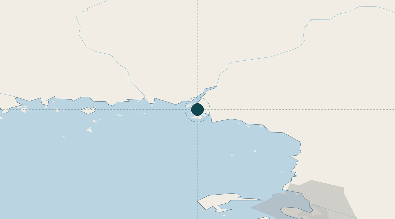
65.7333°, 24.5667°
9.4 m
Channel depth
1
Container terminals
13.1
Port liner connectivity
Channel & Berth Profile
Pilotage, Tugs & Services
Pilotage compulsoryYES
Pilotage availableYES
Pilotage advisableYES
Tug assistanceYES
Potable waterYES
MedicalYES
Garbage disposalYES
Facilities & Capabilities
ContainerYES
Ro-RoYES
Liquid bulkYES
Dry bulkYES
Oil terminalYES
Break bulkYES
Dry dock—
RepairsNO
BunkeringYES
Rail linkYES
Dangerous cargo—
ISPS security—
Harbour Specifications
Harbour size
Small
Harbour type
Coastal (Natural)
Shelter
Fair
Water body
Gulf of Bothnia; Baltic Sea; North Atlantic Ocean
Tidal range
1 m
Pilotage
Yes
Liner Connectivity
13.1
PLSCI
Port Liner Shipping Connectivity Index for Kemi, as published by UNCTAD for the latest available quarter. Higher values indicate stronger scheduled liner-shipping integration.
Shown relative to the highest per-port PLSCI in the dataset (1,657.9).
Location
Container Terminals · 1
KEMI PORT
KEMP KEMI SHIPPING OY
Nearby Logistics Neighbours
Ports
- 1Veitsiluoto4 km
- 2Tornio19 km
- 3Sandvik37 km
- 4Karlsborg59 km
- 5Oulu89 km
Cities
- 1Veitsiluoto6 km
- 2Ajos7 km
- 3Röyttä18 km
- 4Torneå (Tornio)19 km
- 5Karlsborg Axelvik59 km
Airports
- 1Kemi-Tornio Airport5 km
- 2Oulu Airport97 km
- 3Rovaniemi Airport108 km
- 4Luleå Airport114 km
- 5Pajala Airport181 km
Trade Zones
- 1Oulu Port Free Warehouse Area91 km
- 2Murmansk Special Economic Zone511 km
- 3Free Zone of Lappeenranta551 km
- 4Port of Hamina-Kotka597 km
- 5Turku Free Zone600 km
DatabookThe Record of Consolidated Knowledge
Finland beyond logistics?