UN/LOCODE hub · Finland
FIHAO

Hailuoto

65.0000°, 24.8333°
928
Population
1
Transport functions

Transport Functions

Port
UN/LOCODE

Hub Profile

Place type
District seat
GeoNames
Region
North Ostrobothnia
GeoNames
Population
928
GeoNames
Time zone
Europe/Helsinki
GeoNames
Elevation
10 m
GeoNames

Location

Location of FIHAO
Natural Earth 10m (public domain) · North Ostrobothnia · FIHAO · 65.00, 24.83GoogleOSMYandex

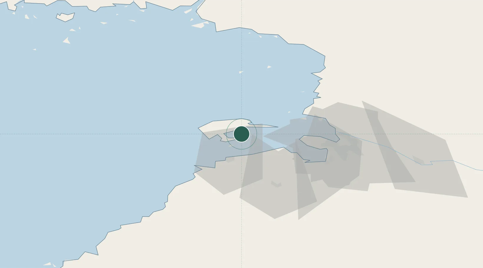
Nearby Logistics Neighbours

Cities
  1. 1Varjakka18 km
  2. 2Oulu (Uleåborg)27 km
  3. 3Kempele32 km
  4. 4Halosenlahti34 km
  5. 5Ruukki41 km
Nearest neighbours — logibook spatial index (haversine) over the source coordinates
Ports
  1. 1Oulu27 km
  2. 2Raahe40 km
  3. 3Veitsiluoto79 km
  4. 4Kemi83 km
  5. 5Tornio91 km
Nearest neighbours — logibook spatial index (haversine) over the source coordinates
Airports
  1. 1Oulu Airport26 km
  2. 2Kemi-Tornio Airport87 km
  3. 3Ylivieska Airfield105 km
  4. 4Luleå Airport140 km
  5. 5Kajaani Airport158 km
Nearest neighbours — logibook spatial index (haversine) over the source coordinates
Trade Zones
  1. 1Oulu Port Free Warehouse Area27 km
  2. 2Free Zone of Lappeenranta470 km
  3. 3Port of Hamina-Kotka515 km
  4. 4Turku Free Zone524 km
  5. 5Murmansk Special Economic Zone567 km
Nearest neighbours — logibook spatial index (haversine) over the source coordinates
DatabookThe Record of Consolidated Knowledge
Finland beyond logistics?
Browse databook

All Sources

LocationsUN/LOCODE
UN/LOCODE — free
LocationsGeoNames
CC BY 4.0
Portsthe NGA World Port Index
Public domain (US gov)
AirportsOurAirports
Public domain
Trade Zonesthe World Bank SEZ database
CC BY 4.0
Trade ZonesOpen Zone Map
CC BY
← Finland locations