Transport Functions
Port
Hub Profile
Place type
Populated place
Region
North Ostrobothnia
Time zone
Europe/Helsinki
Elevation
1 m
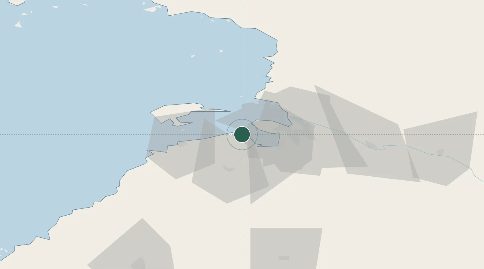
Location
Nearby Logistics Neighbours
Cities
- 1Kempele17 km
- 2Oulu (Uleåborg)17 km
- 3Hailuoto18 km
- 4Ruukki28 km
- 5Halosenlahti38 km
Ports
- 1Oulu18 km
- 2Raahe42 km
- 3Veitsiluoto92 km
- 4Kemi96 km
- 5Rahja103 km
Airports
- 1Oulu Airport11 km
- 2Ylivieska Airfield96 km
- 3Kemi-Tornio Airport101 km
- 4Kajaani Airport140 km
- 5Luleå Airport158 km
Trade Zones
- 1Oulu Port Free Warehouse Area17 km
- 2Free Zone of Lappeenranta455 km
- 3Port of Hamina-Kotka501 km
- 4Turku Free Zone517 km
- 5Murmansk Special Economic Zone568 km
DatabookThe Record of Consolidated Knowledge
Finland beyond logistics?