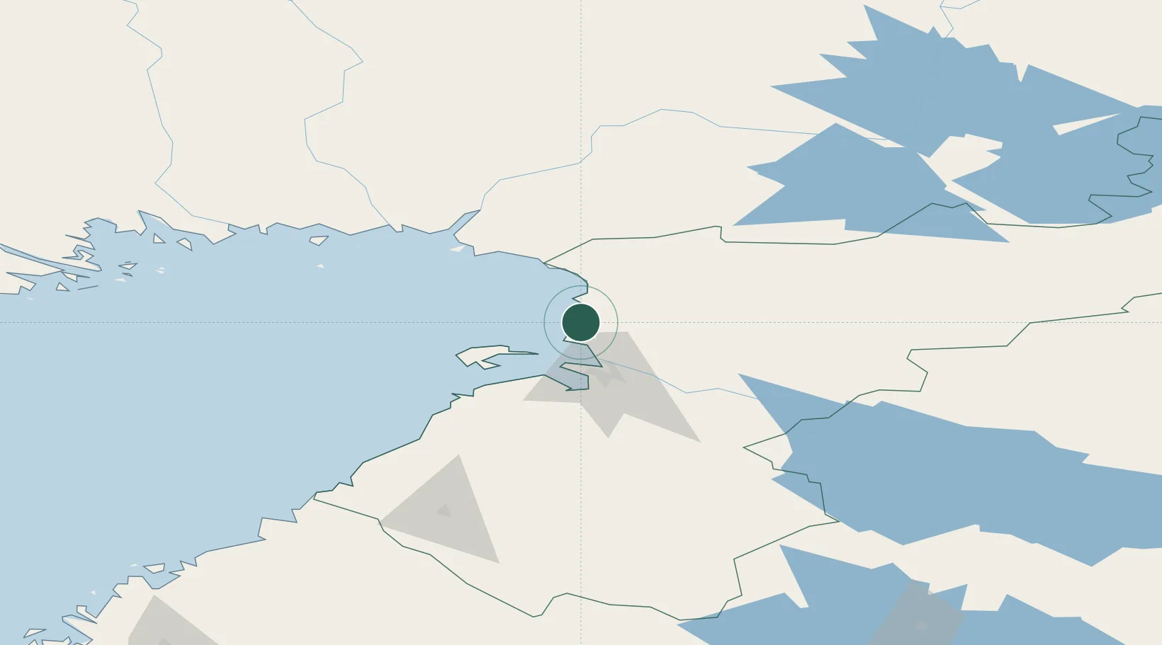
UN/LOCODE hub · Finland
FILHO

Halosenlahti

65.2333°, 25.3167°
1
Transport functions

Transport Functions

Port
UN/LOCODE

Location

Location of FILHO
Natural Earth 10m (public domain) · Northern Ostrobothnia · FILHO · 65.23, 25.32GoogleOSMYandex

Nearby Logistics Neighbours

Cities
  1. 1Oulu (Uleåborg)27 km
  2. 2Hailuoto34 km
  3. 3Kempele36 km
  4. 4Varjakka38 km
  5. 5Veitsiluoto59 km
Nearest neighbours — logibook spatial index (haversine) over the source coordinates
Ports
  1. 1Oulu24 km
  2. 2Veitsiluoto61 km
  3. 3Kemi66 km
  4. 4Raahe74 km
  5. 5Tornio80 km
Nearest neighbours — logibook spatial index (haversine) over the source coordinates
Airports
  1. 1Oulu Airport34 km
  2. 2Kemi-Tornio Airport70 km
  3. 3Ylivieska Airfield134 km
  4. 4Rovaniemi Airport150 km
  5. 5Luleå Airport152 km
Nearest neighbours — logibook spatial index (haversine) over the source coordinates
Trade Zones
  1. 1Oulu Port Free Warehouse Area27 km
  2. 2Free Zone of Lappeenranta487 km
  3. 3Murmansk Special Economic Zone533 km
  4. 4Port of Hamina-Kotka536 km
  5. 5Turku Free Zone555 km
Nearest neighbours — logibook spatial index (haversine) over the source coordinates
DatabookThe Record of Consolidated Knowledge
Finland beyond logistics?
Browse databook

All Sources

LocationsUN/LOCODE
UN/LOCODE — free
Portsthe NGA World Port Index
Public domain (US gov)
AirportsOurAirports
Public domain
Trade Zonesthe World Bank SEZ database
CC BY 4.0
Trade ZonesOpen Zone Map
CC BY
← Finland locations