UN/LOCODE hub · Finland
FIKOK
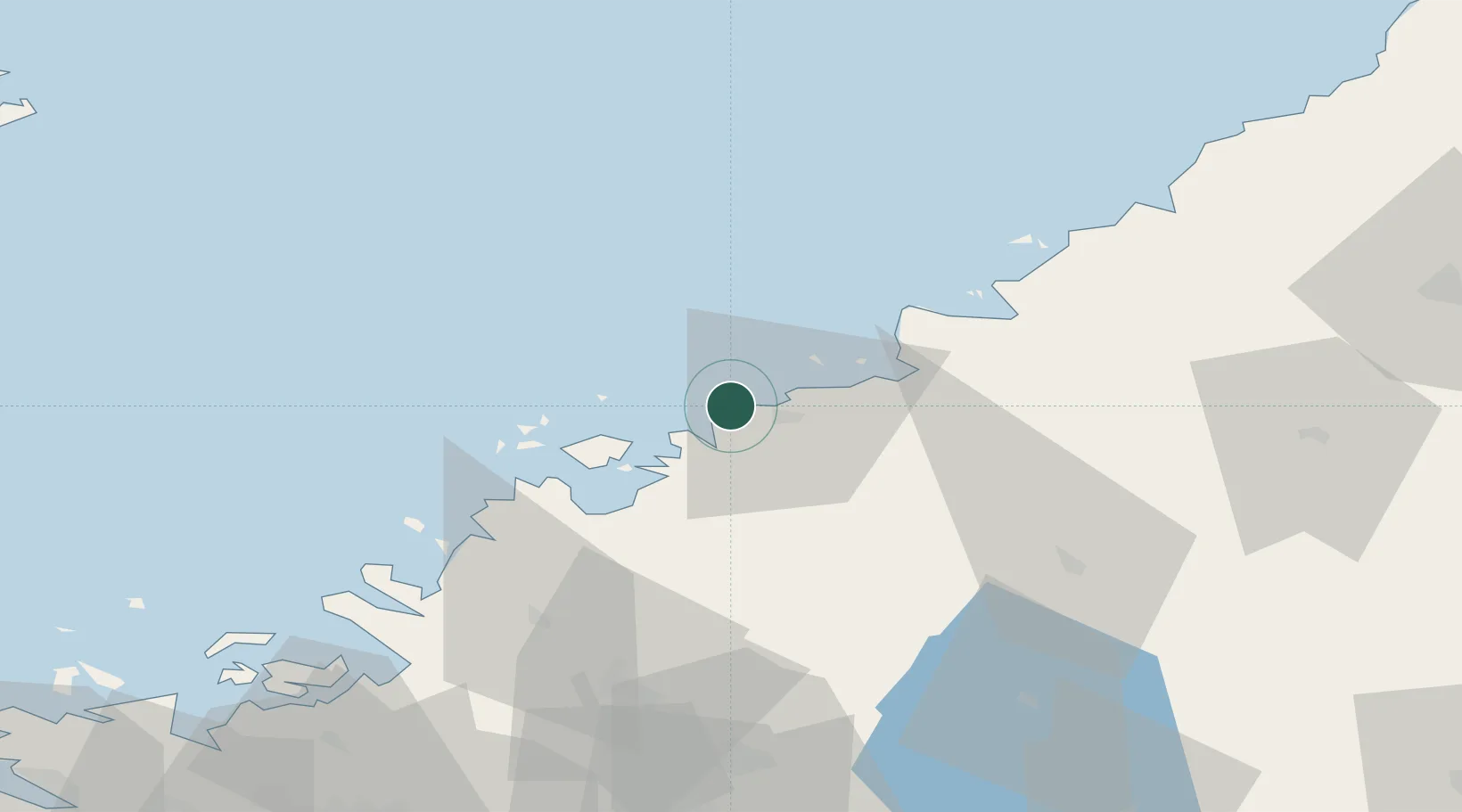
Karleby (Kokkola)
63.8499°, 23.0307°
3
Transport functions
2
Container terminals
Transport Functions
Port
Rail
Road
Hub Profile
Region
07
Logistics facilities
3
Container terminals
2
Location
Nearby Logistics Neighbours
Cities
- 1Yxpila2 km
- 2Jakobstad (Pietarsaari)22 km
- 3Nedervetil22 km
- 4Alholmen23 km
- 5Kållby (Kolppi)27 km
Ports
- 1Pietarsaari26 km
- 2Himanka35 km
- 3Nykarleby44 km
- 4Rahja52 km
- 5Kantlax61 km
Airports
- 1Kokkola-Pietarsaari Airport15 km
- 2Kauhava Airfield80 km
- 3Ylivieska Airfield86 km
- 4Vaasa Airport109 km
- 5Skellefteå Airport128 km
Trade Zones
- 1Oulu Port Free Warehouse Area171 km
- 2Turku Free Zone381 km
- 3Free Zone of Lappeenranta407 km
- 4Port of Hamina-Kotka427 km
- 5Freeport of Hanko447 km
DatabookThe Record of Consolidated Knowledge
Finland beyond logistics?