UN/LOCODE hub · Spain
ESSCT
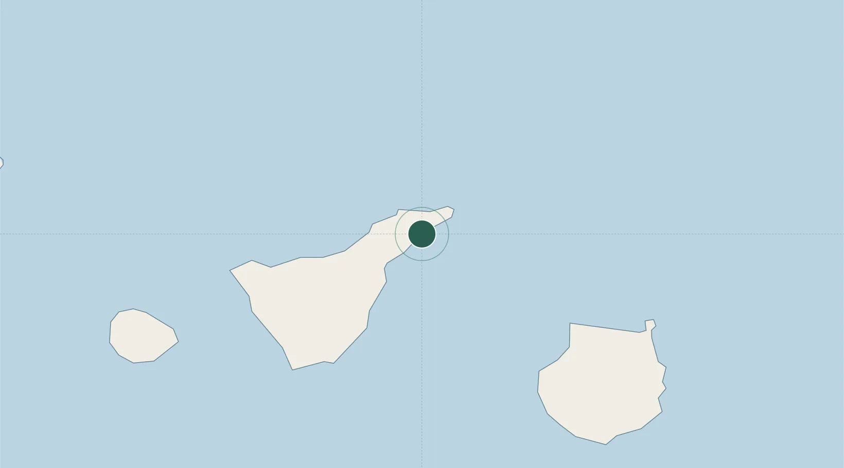
Santa Cruz de Tenerife
28.4845°, -16.2323°
211,359
Population
2
Transport functions
2
Container terminals
Transport Functions
Port
Postal
Hub Profile
Place type
Regional capital
Region
Canary Islands
Population
211,359
Time zone
Atlantic/Canary
Elevation
10 m
Logistics facilities
4
Container terminals
2
Location
Nearby Logistics Neighbours
Cities
- 1San Cristobal de la Laguna7 km
- 2Tegueste9 km
- 3Las Palmas12 km
- 4Tejina13 km
- 5Valle de Guerra15 km
Ports
- 1Las Palmas88 km
- 2Santa Cruz De La Palma150 km
- 3Puerto Del Rosario233 km
- 4Arrecife268 km
- 5Laayoune316 km
Airports
- 1Tenerife Norte-Ciudad de La Laguna Airport11 km
- 2Tenerife Sur Airport59 km
- 3Gran Canaria Airport103 km
- 4La Gomera Airport109 km
- 5La Palma Airport150 km
Trade Zones
DatabookThe Record of Consolidated Knowledge
Spain beyond logistics?