Transport Functions
Multimodal
Hub Profile
Place type
Populated place
Region
Canary Islands
Time zone
Atlantic/Canary
Elevation
151 m
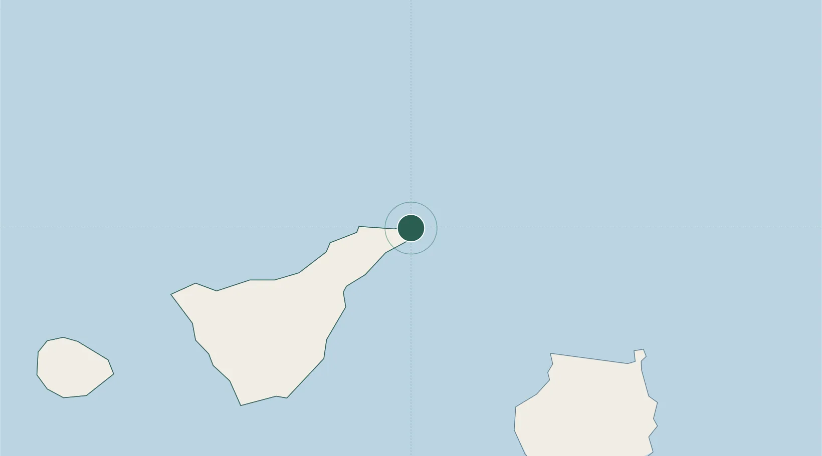
Location
Nearby Logistics Neighbours
Cities
- 1Santa Cruz de Tenerife12 km
- 2Tegueste17 km
- 3San Cristobal de la Laguna17 km
- 4Tejina20 km
- 5Valle de Guerra24 km
Ports
- 1Santa Cruz De Tenerife14 km
- 2Las Palmas85 km
- 3Santa Cruz De La Palma157 km
- 4Puerto Del Rosario225 km
- 5Arrecife259 km
Airports
- 1Tenerife Norte-Ciudad de La Laguna Airport21 km
- 2Tenerife Sur Airport71 km
- 3Gran Canaria Airport103 km
- 4La Gomera Airport120 km
- 5La Palma Airport157 km
Trade Zones
DatabookThe Record of Consolidated Knowledge
Spain beyond logistics?