Transport Functions
Multimodal
Hub Profile
Region
TF
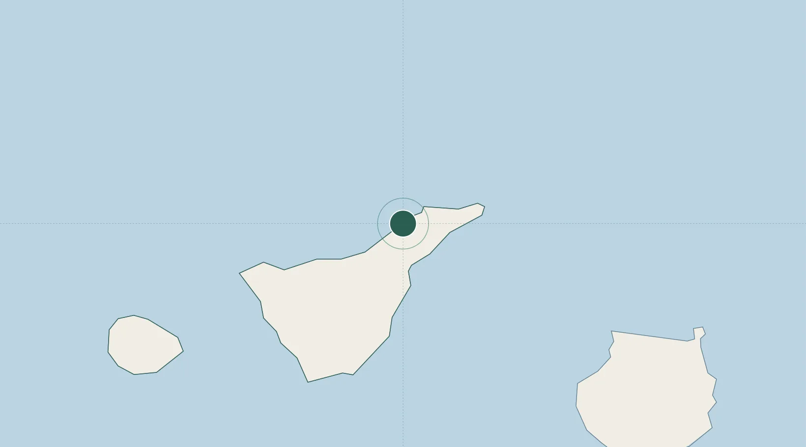
Location
Nearby Logistics Neighbours
Cities
- 1Tejina4 km
- 2Tacoronte6 km
- 3Sauzal6 km
- 4Tegueste7 km
- 5San Cristobal de la Laguna9 km
Ports
- 1Santa Cruz De Tenerife16 km
- 2Las Palmas103 km
- 3Santa Cruz De La Palma135 km
- 4Puerto Del Rosario248 km
- 5Arrecife282 km
Airports
- 1Tenerife Norte-Ciudad de La Laguna Airport6 km
- 2Tenerife Sur Airport56 km
- 3La Gomera Airport98 km
- 4Gran Canaria Airport117 km
- 5La Palma Airport135 km
Trade Zones
DatabookThe Record of Consolidated Knowledge
Spain beyond logistics?