Transport Functions
Road
Multimodal
Hub Profile
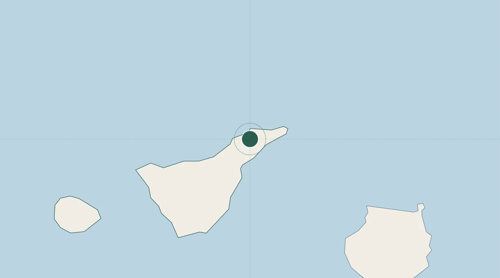
Place type
District seat
Region
Canary Islands
Population
10,666
Time zone
Atlantic/Canary
Elevation
424 m
Location
Nearby Logistics Neighbours
Cities
- 1Tejina4 km
- 2San Cristobal de la Laguna4 km
- 3Valle de Guerra7 km
- 4Santa Cruz de Tenerife9 km
- 5Tacoronte10 km
Ports
- 1Santa Cruz De Tenerife10 km
- 2Las Palmas97 km
- 3Santa Cruz De La Palma141 km
- 4Puerto Del Rosario241 km
- 5Arrecife276 km
Airports
- 1Tenerife Norte-Ciudad de La Laguna Airport5 km
- 2Tenerife Sur Airport58 km
- 3La Gomera Airport103 km
- 4Gran Canaria Airport112 km
- 5La Palma Airport141 km
Trade Zones
DatabookThe Record of Consolidated Knowledge
Spain beyond logistics?