Transport Functions
Multimodal
Hub Profile
Place type
District seat
Region
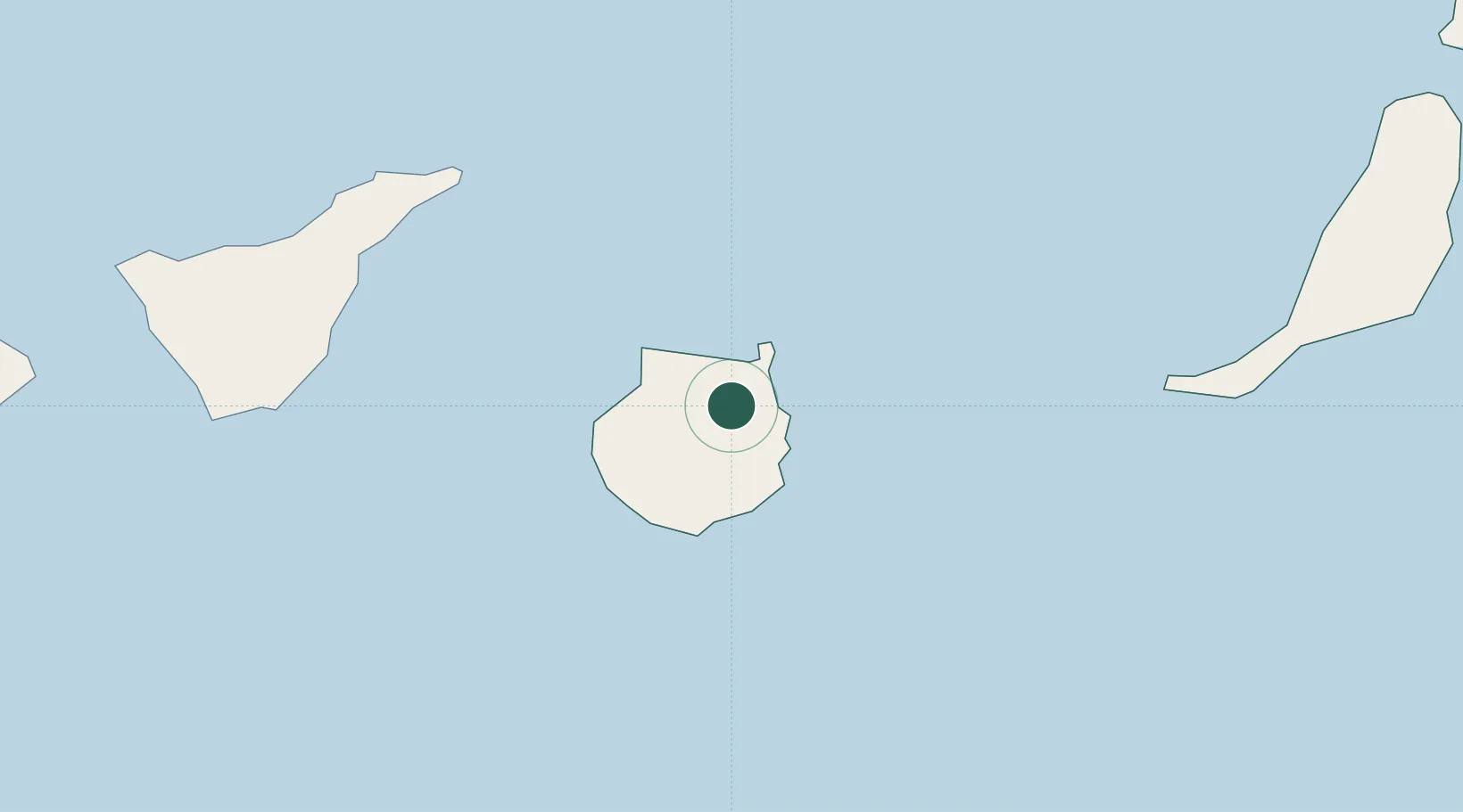
Canary Islands
Population
18,314
Time zone
Atlantic/Canary
Elevation
499 m
Location
Nearby Logistics Neighbours
Cities
- 1Arucas9 km
- 2Arucas9 km
- 3Las Palmas de Gran Canaria11 km
- 4Santa Lucia de Tirajana15 km
- 5El Chorrillo17 km
Ports
- 1Las Palmas15 km
- 2Santa Cruz De Tenerife87 km
- 3Puerto Del Rosario170 km
- 4Arrecife218 km
- 5Laayoune230 km
Airports
- 1Gran Canaria Airport16 km
- 2Tenerife Norte-Ciudad de La Laguna Airport96 km
- 3Tenerife Sur Airport105 km
- 4Fuerteventura Airport167 km
- 5La Gomera Airport168 km
Trade Zones
DatabookThe Record of Consolidated Knowledge
Spain beyond logistics?