UN/LOCODE hub · Spain
ESLPA
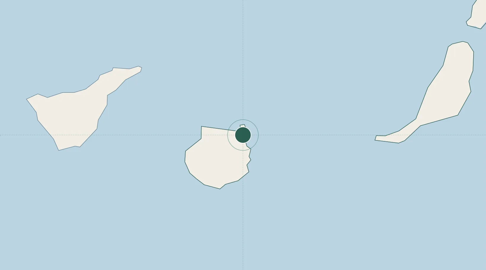
Las Palmas de Gran Canaria
28.1069°, -15.4188°
383,516
Population
5
Transport functions
2
Container terminals
Transport Functions
Port
Road
Airport
Multimodal
Postal
Hub Profile
Place type
Regional capital
Region
Canary Islands
Population
383,516
Time zone
Atlantic/Canary
Elevation
122 m
Logistics facilities
6
Container terminals
2
Location
Nearby Logistics Neighbours
Cities
- 1Arucas10 km
- 2Arucas10 km
- 3Santa Brigida11 km
- 4Carrizal23 km
- 5Galdar23 km
Ports
- 1Santa Cruz De Tenerife89 km
- 2Puerto Del Rosario160 km
- 3Arrecife207 km
- 4Laayoune226 km
- 5Santa Cruz De La Palma237 km
Airports
- 1Gran Canaria Airport20 km
- 2Tenerife Norte-Ciudad de La Laguna Airport100 km
- 3Tenerife Sur Airport113 km
- 4Fuerteventura Airport157 km
- 5La Gomera Airport176 km
Trade Zones
DatabookThe Record of Consolidated Knowledge
Spain beyond logistics?