Transport Functions
Road
Multimodal
Hub Profile
Place type
District seat
Region
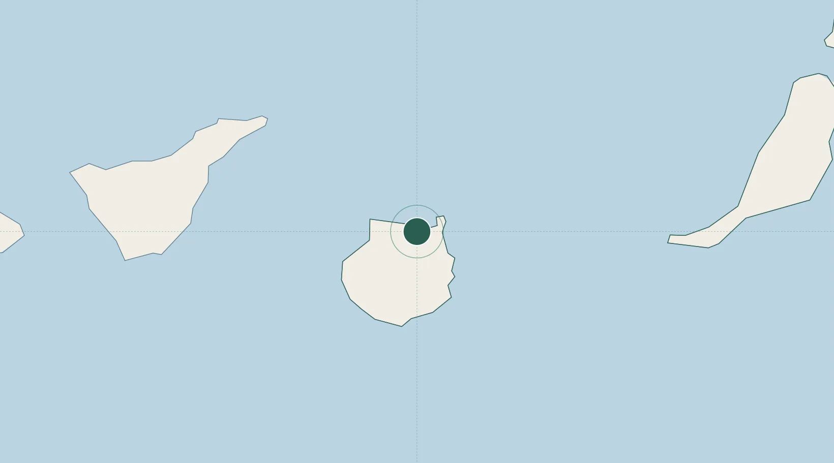
Canary Islands
Population
36,259
Time zone
Atlantic/Canary
Elevation
280 m
Location
Nearby Logistics Neighbours
Cities
- 1Arucas0 km
- 2Santa Brigida9 km
- 3Las Palmas de Gran Canaria10 km
- 4Galdar14 km
- 5Agaete18 km
Ports
- 1Las Palmas11 km
- 2Santa Cruz De Tenerife80 km
- 3Puerto Del Rosario169 km
- 4Arrecife215 km
- 5Santa Cruz De La Palma227 km
Airports
- 1Gran Canaria Airport24 km
- 2Tenerife Norte-Ciudad de La Laguna Airport91 km
- 3Tenerife Sur Airport104 km
- 4Fuerteventura Airport166 km
- 5La Gomera Airport167 km
Trade Zones
DatabookThe Record of Consolidated Knowledge
Spain beyond logistics?