UN/LOCODE hub · Spain
ESZGJ

La Barca Florida

37.2833°, -7.1667°
1
Transport functions

Transport Functions

Multimodal
UN/LOCODE

Hub Profile

Region
H
GeoNames

Location

Location of ESZGJ
Natural Earth 10m (public domain) · H · ESZGJ · 37.28, -7.17GoogleOSMYandex

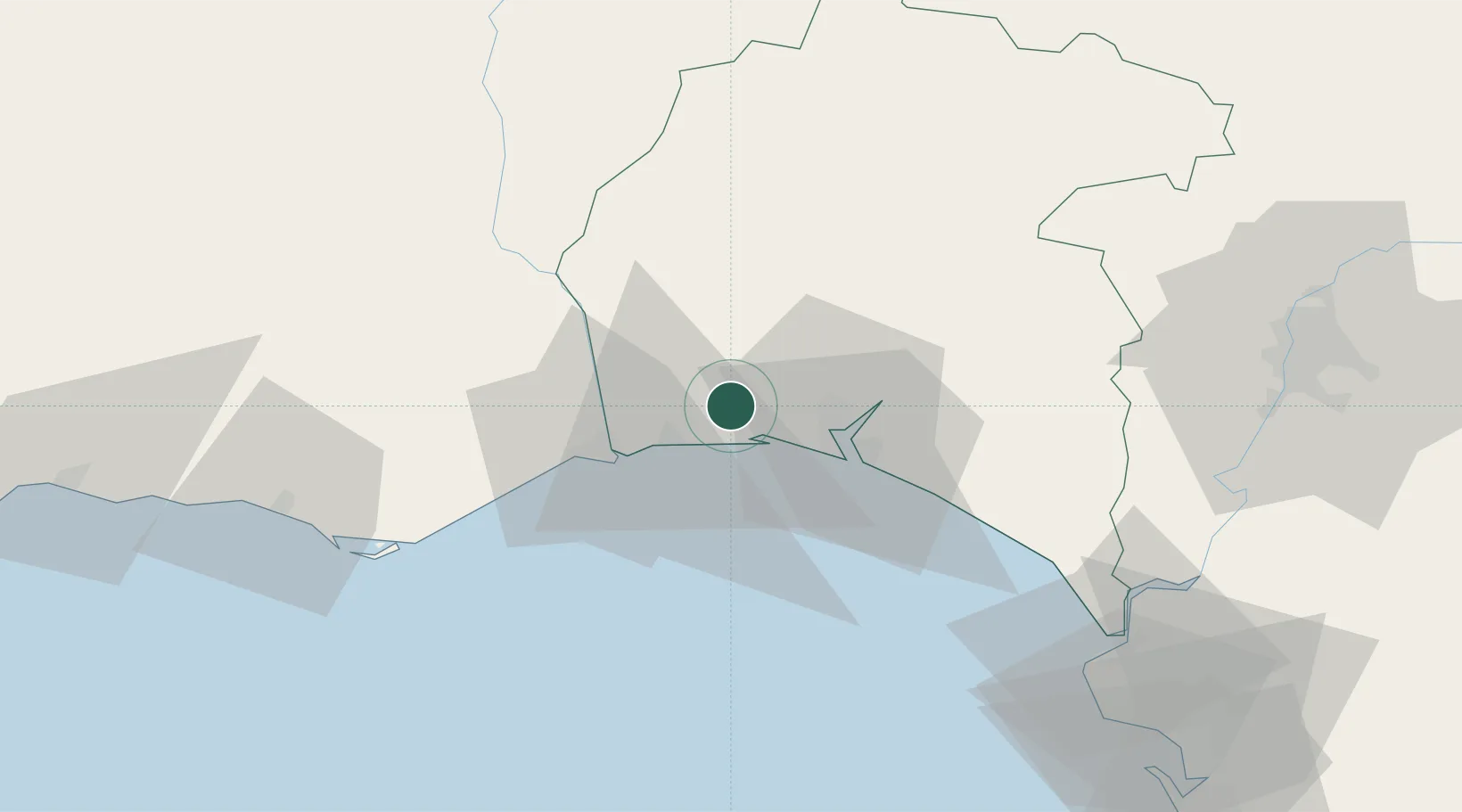
Nearby Logistics Neighbours

Cities
  1. 1Cartaya2 km
  2. 2El Rompido9 km
  3. 3Aljaraque13 km
  4. 4Isla Cristina17 km
  5. 5Gibraleon21 km
Nearest neighbours — logibook spatial index (haversine) over the source coordinates
Ports
  1. 1Huelva20 km
  2. 2Vila Real De S Antonio24 km
  3. 3Faro73 km
  4. 4Sevilla104 km
  5. 5Rota105 km
Nearest neighbours — logibook spatial index (haversine) over the source coordinates
Airports
  1. 1Faro - Gago Coutinho International Airport77 km
  2. 2Madroñalejos Forest Fire fighting Heliport82 km
  3. 3Rota Naval Station Airport102 km
  4. 4Beja Airport / Airbase111 km
  5. 5Seville Airport114 km
Nearest neighbours — logibook spatial index (haversine) over the source coordinates
Trade Zones
  1. 1Puerto de Huelva18 km
  2. 2Zona Franca de Sevilla103 km
  3. 3Zona Franca de Cádiz118 km
  4. 4Depósito Franco de Algeciras201 km
  5. 5Tanger Free Export Zone207 km
Nearest neighbours — logibook spatial index (haversine) over the source coordinates
DatabookThe Record of Consolidated Knowledge
Spain beyond logistics?
Browse databook

All Sources

LocationsUN/LOCODE
UN/LOCODE — free
Portsthe NGA World Port Index
Public domain (US gov)
AirportsOurAirports
Public domain
Trade Zonesthe World Bank SEZ database
CC BY 4.0
Trade ZonesOpen Zone Map
CC BY
← Spain locations