UN/LOCODE hub · Spain
ESHUV
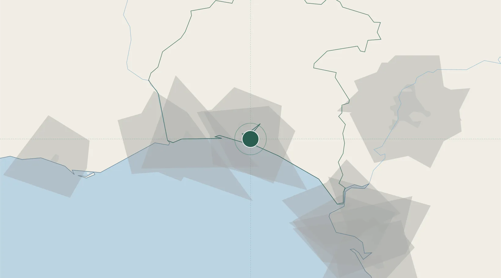
Huelva
37.2020°, -6.9124°
144,258
Population
3
Transport functions
1
Container terminals
Transport Functions
Port
Rail
Road
Hub Profile
Place type
Provincial seat
Region
Andalusia
Population
144,258
Time zone
Europe/Madrid
Elevation
34 m
Logistics facilities
2
Container terminals
1
Location
Nearby Logistics Neighbours
Cities
- 1Aljaraque12 km
- 2El Rompido18 km
- 3Gibraleon21 km
- 4Cartaya23 km
- 5La Barca Florida24 km
Ports
- 1Vila Real De S Antonio43 km
- 2Sevilla83 km
- 3Rota83 km
- 4Cadiz92 km
- 5Faro92 km
Airports
Trade Zones
- 1Puerto de Huelva8 km
- 2Zona Franca de Sevilla82 km
- 3Zona Franca de Cádiz97 km
- 4Depósito Franco de Algeciras178 km
- 5Tanger Free Export Zone188 km
DatabookThe Record of Consolidated Knowledge
Spain beyond logistics?