UN/LOCODE hub · Spain
ESZFL

Gibraleon

37.3833°, -6.9667°
12,258
Population
1
Transport functions

Transport Functions

Multimodal
UN/LOCODE

Hub Profile

Place type
District seat
GeoNames
Region
Andalusia
GeoNames
Population
12,258
GeoNames
Time zone
Europe/Madrid
GeoNames
Elevation
34 m
GeoNames

Location

Location of ESZFL
Natural Earth 10m (public domain) · Andalusia · ESZFL · 37.38, -6.97GoogleOSMYandex

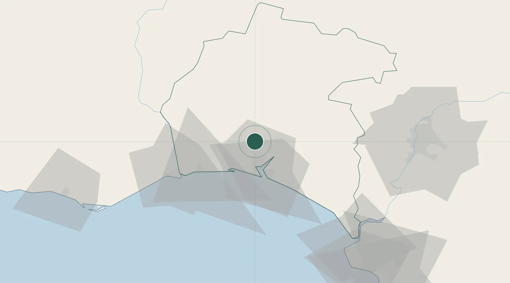
Nearby Logistics Neighbours

Cities
  1. 1Aljaraque14 km
  2. 2Cartaya20 km
  3. 3Huelva21 km
  4. 4La Barca Florida21 km
  5. 5El Rompido23 km
Nearest neighbours — logibook spatial index (haversine) over the source coordinates
Ports
  1. 1Huelva15 km
  2. 2Vila Real De S Antonio44 km
  3. 3Sevilla85 km
  4. 4Faro94 km
  5. 5Rota102 km
Nearest neighbours — logibook spatial index (haversine) over the source coordinates
Airports
  1. 1Madroñalejos Forest Fire fighting Heliport62 km
  2. 2Seville Airport95 km
  3. 3Faro - Gago Coutinho International Airport98 km
  4. 4Rota Naval Station Airport99 km
  5. 5Jerez Airport107 km
Nearest neighbours — logibook spatial index (haversine) over the source coordinates
Trade Zones
  1. 1Puerto de Huelva14 km
  2. 2Zona Franca de Sevilla86 km
  3. 3Zona Franca de Cádiz116 km
  4. 4Depósito Franco de Algeciras195 km
  5. 5Tanger Free Export Zone208 km
Nearest neighbours — logibook spatial index (haversine) over the source coordinates
DatabookThe Record of Consolidated Knowledge
Spain beyond logistics?
Browse databook

All Sources

LocationsUN/LOCODE
UN/LOCODE — free
LocationsGeoNames
CC BY 4.0
Portsthe NGA World Port Index
Public domain (US gov)
AirportsOurAirports
Public domain
Trade Zonesthe World Bank SEZ database
CC BY 4.0
Trade ZonesOpen Zone Map
CC BY
← Spain locations