UN/LOCODE hub · Spain
ESZAI

Aljaraque

37.2667°, -7.0167°
17,960
Population
1
Transport functions

Transport Functions

Multimodal
UN/LOCODE

Hub Profile

Place type
District seat
GeoNames
Region
Andalusia
GeoNames
Population
17,960
GeoNames
Time zone
Europe/Madrid
GeoNames
Elevation
30 m
GeoNames

Location

Location of ESZAI
Natural Earth 10m (public domain) · Andalusia · ESZAI · 37.27, -7.02GoogleOSMYandex

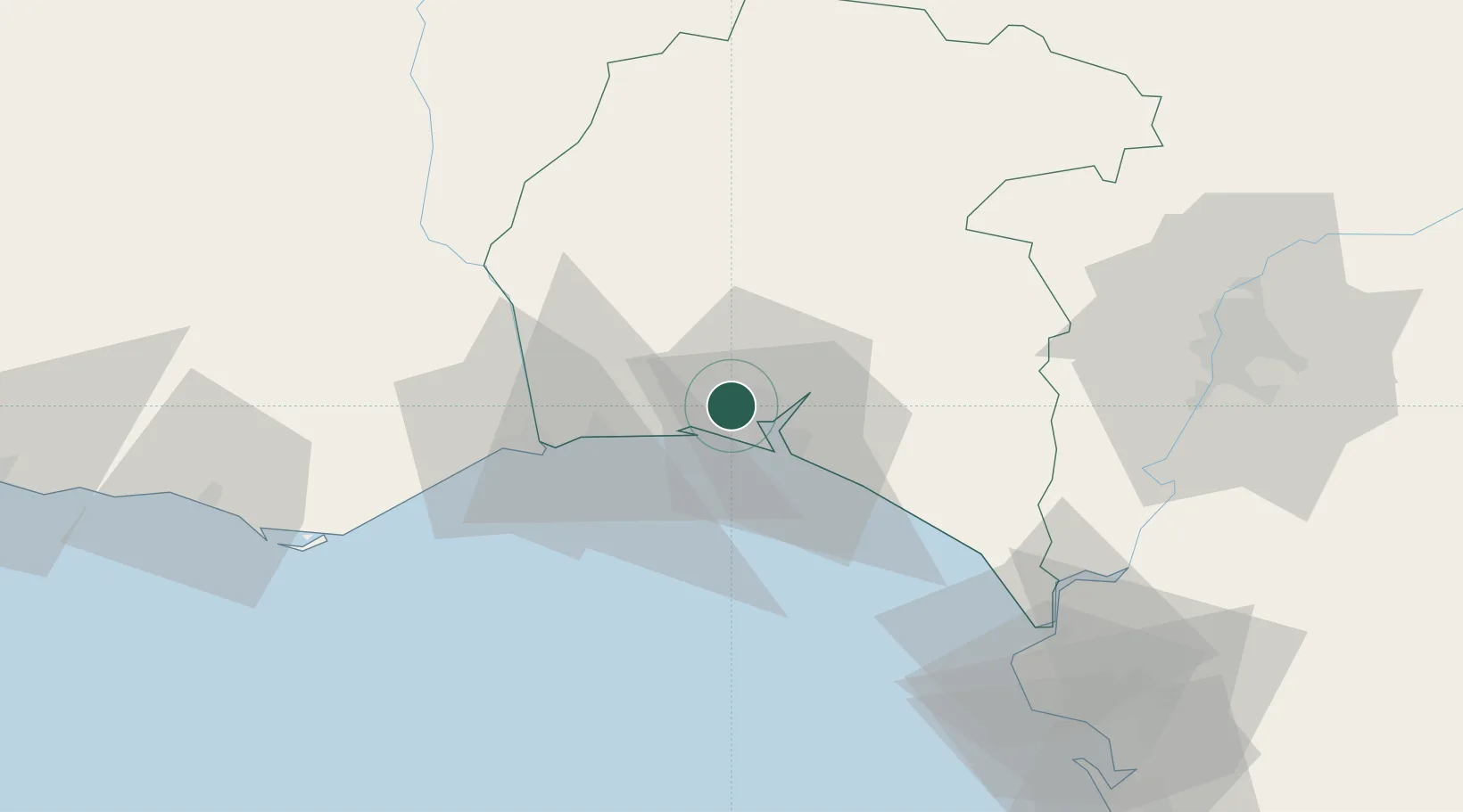
Nearby Logistics Neighbours

Cities
  1. 1El Rompido11 km
  2. 2Huelva12 km
  3. 3Cartaya12 km
  4. 4La Barca Florida13 km
  5. 5Gibraleon14 km
Nearest neighbours — logibook spatial index (haversine) over the source coordinates
Ports
  1. 1Huelva6 km
  2. 2Vila Real De S Antonio35 km
  3. 3Faro85 km
  4. 4Sevilla91 km
  5. 5Rota94 km
Nearest neighbours — logibook spatial index (haversine) over the source coordinates
Airports
  1. 1Madroñalejos Forest Fire fighting Heliport70 km
  2. 2Faro - Gago Coutinho International Airport89 km
  3. 3Rota Naval Station Airport91 km
  4. 4Seville Airport101 km
  5. 5Jerez Airport103 km
Nearest neighbours — logibook spatial index (haversine) over the source coordinates
Trade Zones
  1. 1Puerto de Huelva5 km
  2. 2Zona Franca de Sevilla90 km
  3. 3Zona Franca de Cádiz108 km
  4. 4Depósito Franco de Algeciras190 km
  5. 5Tanger Free Export Zone199 km
Nearest neighbours — logibook spatial index (haversine) over the source coordinates
DatabookThe Record of Consolidated Knowledge
Spain beyond logistics?
Browse databook

All Sources

LocationsUN/LOCODE
UN/LOCODE — free
LocationsGeoNames
CC BY 4.0
Portsthe NGA World Port Index
Public domain (US gov)
AirportsOurAirports
Public domain
Trade Zonesthe World Bank SEZ database
CC BY 4.0
Trade ZonesOpen Zone Map
CC BY
← Spain locations