Transport Functions
Multimodal
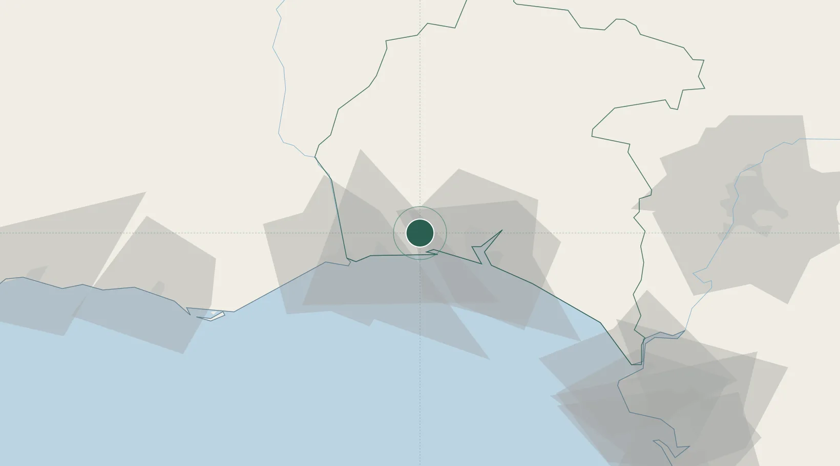
Hub Profile
Place type
District seat
Region
Andalusia
Population
17,905
Time zone
Europe/Madrid
Elevation
16 m
Location
Nearby Logistics Neighbours
Cities
- 1La Barca Florida2 km
- 2El Rompido8 km
- 3Aljaraque12 km
- 4Isla Cristina19 km
- 5Gibraleon20 km
Ports
- 1Huelva18 km
- 2Vila Real De S Antonio25 km
- 3Faro75 km
- 4Sevilla102 km
- 5Rota104 km
Airports
Trade Zones
- 1Puerto de Huelva17 km
- 2Zona Franca de Sevilla102 km
- 3Zona Franca de Cádiz117 km
- 4Depósito Franco de Algeciras200 km
- 5Tanger Free Export Zone206 km
DatabookThe Record of Consolidated Knowledge
Spain beyond logistics?