Transport Functions
Port
Rail
Road
Multimodal
Postal
Fixed Transport
Hub Profile
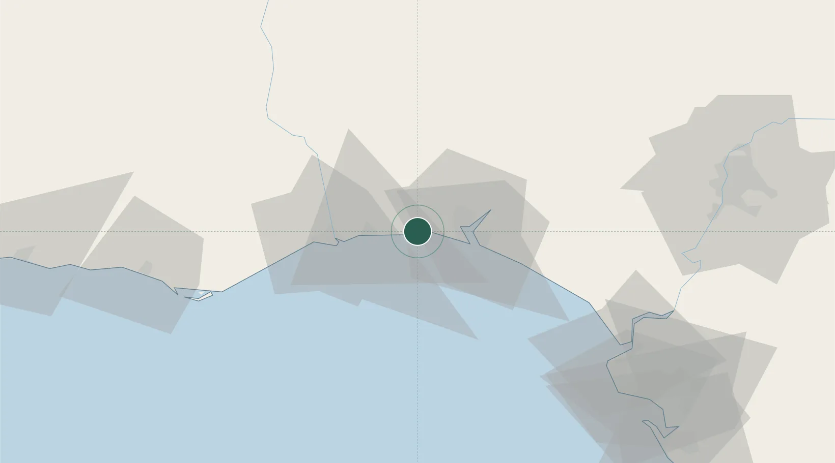
Place type
Populated place
Region
Andalusia
Population
1,729
Time zone
Europe/Madrid
Elevation
7 m
Location
Nearby Logistics Neighbours
Cities
- 1Cartaya8 km
- 2La Barca Florida9 km
- 3Aljaraque11 km
- 4Huelva18 km
- 5Isla Cristina19 km
Ports
- 1Huelva15 km
- 2Vila Real De S Antonio25 km
- 3Faro75 km
- 4Rota96 km
- 5Sevilla100 km
Airports
Trade Zones
- 1Puerto de Huelva15 km
- 2Zona Franca de Sevilla100 km
- 3Zona Franca de Cádiz110 km
- 4Depósito Franco de Algeciras193 km
- 5Tanger Free Export Zone199 km
DatabookThe Record of Consolidated Knowledge
Spain beyond logistics?