UN/LOCODE hub · Ecuador
ECPSC

Pascuales

-2.0833°, -79.9333°
2
Transport functions

Transport Functions

Road
Multimodal
UN/LOCODE

Hub Profile

Place type
Populated place
GeoNames
Region
Guayas
GeoNames
Time zone
America/Guayaquil
GeoNames
Elevation
10 m
GeoNames

Location

Location of ECPSC
Natural Earth 10m (public domain) · Guayas · ECPSC · -2.08, -79.93GoogleOSMYandex

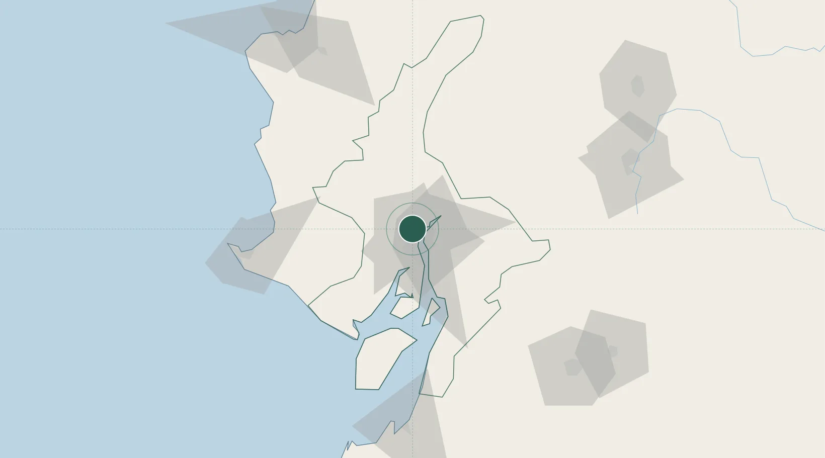
Nearby Logistics Neighbours

Cities
  1. 1La Puntilla11 km
  2. 2Guayaquil12 km
  3. 3Samborondon12 km
  4. 4Puerto Nuevo15 km
  5. 5Durán17 km
Nearest neighbours — logibook spatial index (haversine) over the source coordinates
Ports
  1. 1Guayaquil14 km
  2. 2Puerto Maritimo De Guayaquil23 km
  3. 3La Libertad110 km
  4. 4Puerto Bolivar132 km
  5. 5Manta153 km
Nearest neighbours — logibook spatial index (haversine) over the source coordinates
Airports
  1. 1José Joaquín de Olmedo International Airport10 km
  2. 2General Ulpiano Paez International Airport118 km
  3. 3Reales Tamarindos Airport130 km
  4. 4Mariscal Lamar Airport138 km
  5. 5Eloy Alfaro International Airport151 km
Nearest neighbours — logibook spatial index (haversine) over the source coordinates
Trade Zones
  1. 1Zona Franca Esmeraldas9 km
  2. 2Contecon Guayaquil Free Zone22 km
  3. 3DP World Posorja77 km
  4. 4Posorja ZofraPort SA Free Zone77 km
  5. 5Zona Franca del Oro135 km
Nearest neighbours — logibook spatial index (haversine) over the source coordinates
DatabookThe Record of Consolidated Knowledge
Ecuador beyond logistics?
Browse databook

All Sources

LocationsUN/LOCODE
UN/LOCODE — free
Portsthe NGA World Port Index
Public domain (US gov)
AirportsOurAirports
Public domain
Trade Zonesthe World Bank SEZ database
CC BY 4.0
Trade ZonesOpen Zone Map
CC BY
← Ecuador locations