UN/LOCODE hub · Ecuador
ECLPT

La Puntilla

-2.1500°, -79.8667°
3
Transport functions

Transport Functions

Port
Road
Multimodal
UN/LOCODE

Hub Profile

Place type
District seat
GeoNames
Region
Guayas
GeoNames
Time zone
America/Guayaquil
GeoNames
Elevation
2 m
GeoNames

Location

Location of ECLPT
Natural Earth 10m (public domain) · Guayas · ECLPT · -2.15, -79.87GoogleOSMYandex

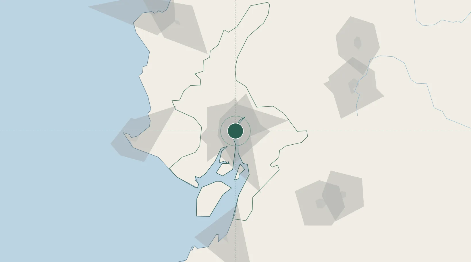
Nearby Logistics Neighbours

Cities
  1. 1Samborondon4 km
  2. 2Durán7 km
  3. 3Guayaquil7 km
  4. 4Puerto Nuevo9 km
  5. 5Pascuales11 km
Nearest neighbours — logibook spatial index (haversine) over the source coordinates
Ports
  1. 1Guayaquil6 km
  2. 2Puerto Maritimo De Guayaquil15 km
  3. 3La Libertad117 km
  4. 4Puerto Bolivar125 km
  5. 5Manta164 km
Nearest neighbours — logibook spatial index (haversine) over the source coordinates
Trade Zones
  1. 1Zona Franca Esmeraldas7 km
  2. 2Contecon Guayaquil Free Zone15 km
  3. 3DP World Posorja74 km
  4. 4Posorja ZofraPort SA Free Zone74 km
  5. 5Zona Franca del Oro127 km
Nearest neighbours — logibook spatial index (haversine) over the source coordinates
DatabookThe Record of Consolidated Knowledge
Ecuador beyond logistics?
Browse databook

All Sources

LocationsUN/LOCODE
UN/LOCODE — free
Portsthe NGA World Port Index
Public domain (US gov)
AirportsOurAirports
Public domain
Trade Zonesthe World Bank SEZ database
CC BY 4.0
Trade ZonesOpen Zone Map
CC BY
← Ecuador locations