UN/LOCODE hub · Ecuador
ECGYE
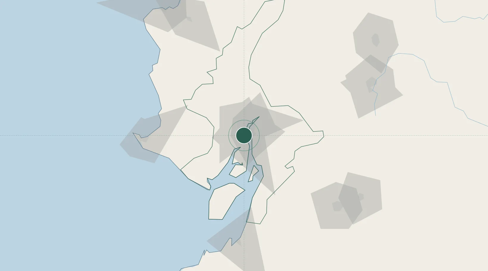
Guayaquil
-2.1923°, -79.9175°
2,723,665
Population
3
Transport functions
4
Container terminals
Transport Functions
Port
Airport
Postal
Hub Profile
Place type
Regional capital
Region
Guayas
Population
2,723,665
Time zone
America/Guayaquil
Elevation
14 m
Logistics facilities
23
Container terminals
4
Location
Nearby Logistics Neighbours
Cities
- 1Puerto Nuevo3 km
- 2Samborondon4 km
- 3La Puntilla7 km
- 4Durán9 km
- 5Pascuales12 km
Ports
- 1Puerto Maritimo De Guayaquil10 km
- 2La Libertad111 km
- 3Puerto Bolivar120 km
- 4Manta164 km
- 5Puerto Cabo Blanco272 km
Airports
Trade Zones
- 1Zona Franca Esmeraldas3 km
- 2Contecon Guayaquil Free Zone10 km
- 3DP World Posorja67 km
- 4Posorja ZofraPort SA Free Zone67 km
- 5Zona Franca del Oro123 km
DatabookThe Record of Consolidated Knowledge
Ecuador beyond logistics?