Transport Functions
Port
Multimodal
Hub Profile
Place type
Populated place
Region
Guayas
Time zone
America/Guayaquil
Elevation
6 m
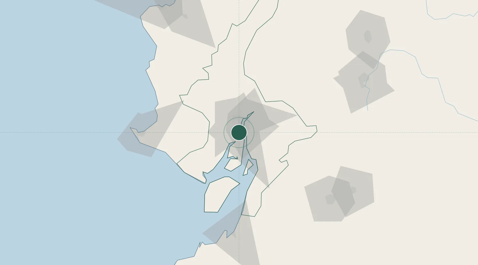
Location
Nearby Logistics Neighbours
Cities
- 1Guayaquil3 km
- 2Samborondon5 km
- 3La Puntilla9 km
- 4Durán9 km
- 5Pascuales15 km
Ports
- 1Guayaquil4 km
- 2La Libertad111 km
- 3Puerto Bolivar117 km
- 4Manta167 km
- 5Puerto Cabo Blanco269 km
Airports
Trade Zones
- 1Zona Franca Esmeraldas6 km
- 2Contecon Guayaquil Free Zone7 km
- 3DP World Posorja65 km
- 4Posorja ZofraPort SA Free Zone65 km
- 5Zona Franca del Oro120 km
DatabookThe Record of Consolidated Knowledge
Ecuador beyond logistics?