UN/LOCODE hub · Denmark
DKAAZ

Reersoe

54.7833°, 11.6333°
1
Transport functions

Transport Functions

Multimodal
UN/LOCODE

Hub Profile

Region
85
GeoNames

Location

Location of DKAAZ
Natural Earth 10m (public domain) · 85 · DKAAZ · 54.78, 11.63GoogleOSMYandex

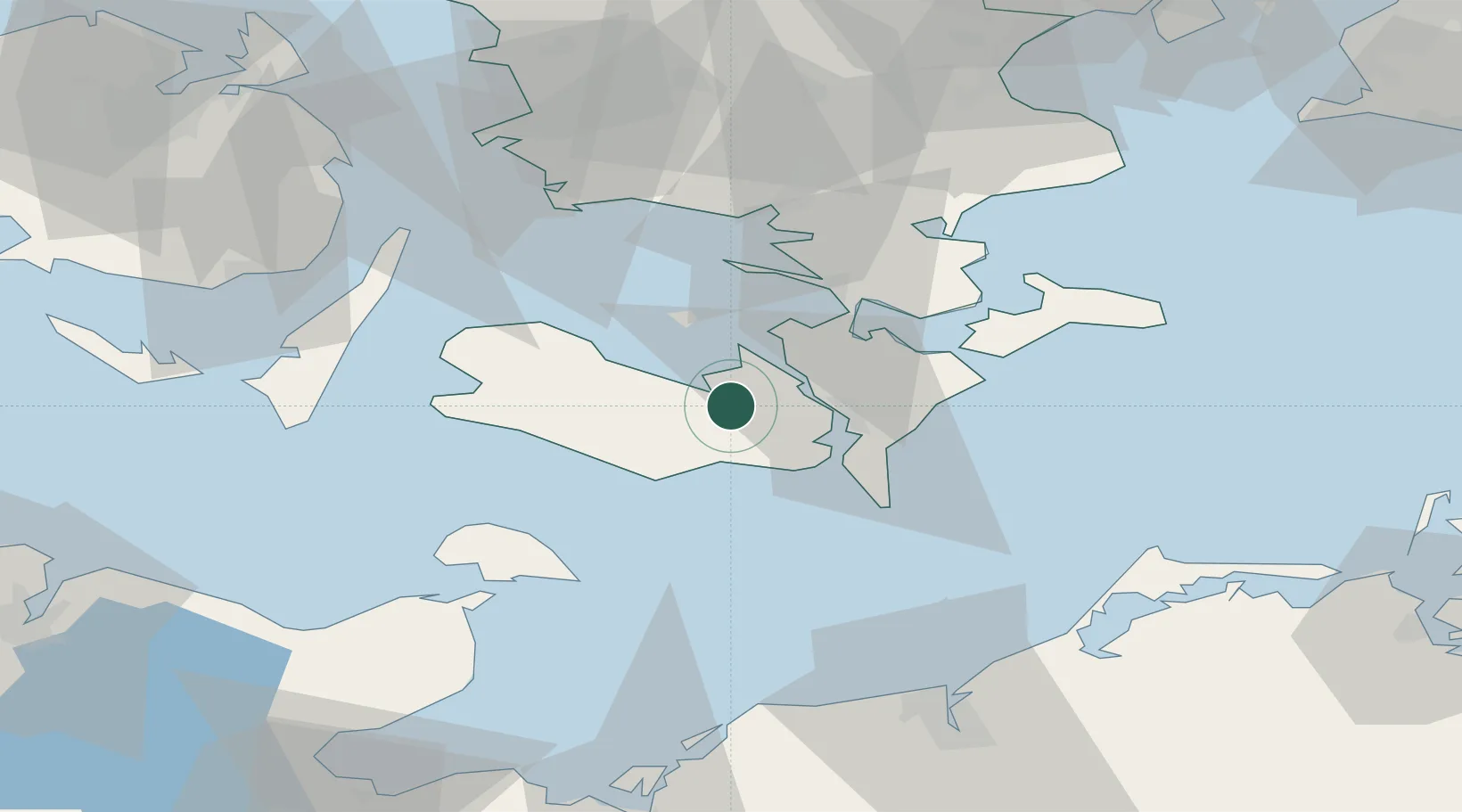
Nearby Logistics Neighbours

Cities
  1. 1Burso10 km
  2. 2Toreby11 km
  3. 3Kettinge12 km
  4. 4Nørreballe13 km
  5. 5Nykøbing Falster16 km
Nearest neighbours — logibook spatial index (haversine) over the source coordinates
Ports
  1. 1Sakskobing2 km
  2. 2Bandholm10 km
  3. 3Nysted15 km
  4. 4Nykobing15 km
  5. 5Rodby Havn24 km
Nearest neighbours — logibook spatial index (haversine) over the source coordinates
Airports
  1. 1Lolland Falster Maribo Airport16 km
  2. 2Ringsted Airfield72 km
  3. 3Sydfyn (Tasinge) Airfield73 km
  4. 4Ærø Airfield76 km
  5. 5Copenhagen Roskilde Airport95 km
Nearest neighbours — logibook spatial index (haversine) over the source coordinates
Trade Zones
  1. 1Freeport of Kiel107 km
  2. 2Freeport of Copenhagen- Nordhavn120 km
  3. 3MTS Malmö Transport and Spedition130 km
  4. 4Swinoujscie Duty Free Zone198 km
  5. 5Freeport of Cuxhaven (Freihafen Cuxhaven)226 km
Nearest neighbours — logibook spatial index (haversine) over the source coordinates
DatabookThe Record of Consolidated Knowledge
Denmark beyond logistics?
Browse databook

All Sources

LocationsUN/LOCODE
UN/LOCODE — free
Portsthe NGA World Port Index
Public domain (US gov)
AirportsOurAirports
Public domain
Trade Zonesthe World Bank SEZ database
CC BY 4.0
Trade ZonesOpen Zone Map
CC BY
← Denmark locations