UN/LOCODE hub · Denmark
DKSBK

Stubbekøbing

54.8833°, 12.0500°
1
Transport functions

Transport Functions

Port
Stubbekøbing is also a profiled seaport →
UN/LOCODE

Hub Profile

Region
85
GeoNames

Location

Location of DKSBK
Natural Earth 10m (public domain) · 85 · DKSBK · 54.88, 12.05GoogleOSMYandex

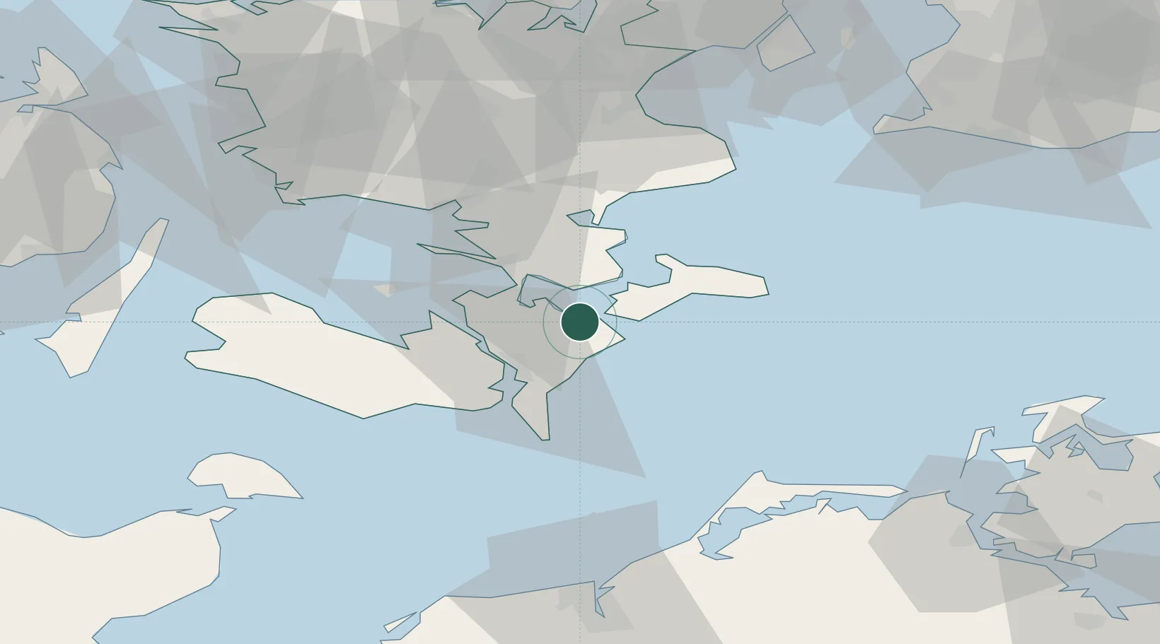
Nearby Logistics Neighbours

Cities
  1. 1Bogo By6 km
  2. 2Stensved13 km
  3. 3Masnedovaerkets Havn/Vordingborg14 km
  4. 4Vordingborg Sydhavnen15 km
  5. 5Masnedsund Godningshamn16 km
Nearest neighbours — logibook spatial index (haversine) over the source coordinates
Ports
  1. 1Vordingborg16 km
  2. 2Nykobing18 km
  3. 3Stege19 km
  4. 4Sakskobing28 km
  5. 5Nysted32 km
Nearest neighbours — logibook spatial index (haversine) over the source coordinates
Airports
  1. 1Lolland Falster Maribo Airport44 km
  2. 2Ringsted Airfield62 km
  3. 3Copenhagen Roskilde Airport78 km
  4. 4Copenhagen Kastrup Airport90 km
  5. 5Sydfyn (Tasinge) Airfield96 km
Nearest neighbours — logibook spatial index (haversine) over the source coordinates
Trade Zones
  1. 1Freeport of Copenhagen- Nordhavn99 km
  2. 2MTS Malmö Transport and Spedition104 km
  3. 3Freeport of Kiel135 km
  4. 4Swinoujscie Duty Free Zone181 km
  5. 5Szczecin Duty Free Zone231 km
Nearest neighbours — logibook spatial index (haversine) over the source coordinates
DatabookThe Record of Consolidated Knowledge
Denmark beyond logistics?
Browse databook

All Sources

LocationsUN/LOCODE
UN/LOCODE — free
Portsthe NGA World Port Index
Public domain (US gov)
AirportsOurAirports
Public domain
Trade Zonesthe World Bank SEZ database
CC BY 4.0
Trade ZonesOpen Zone Map
CC BY
← Denmark locations