Transport Functions
Port
Rail
Road
Hub Profile
Region
85
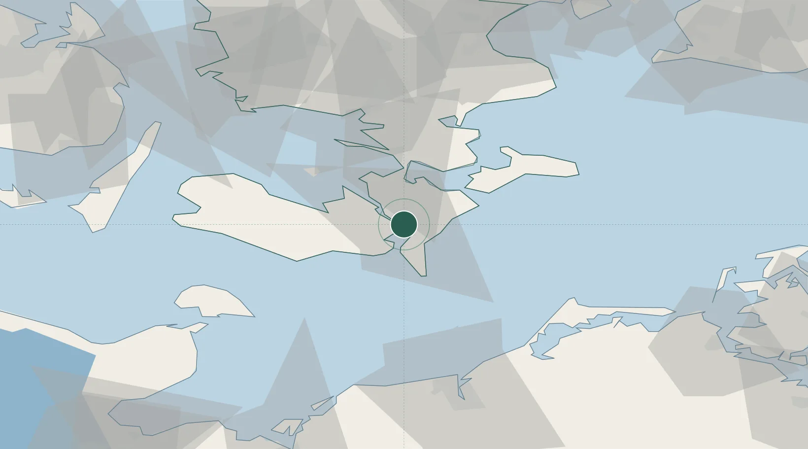
Location
Nearby Logistics Neighbours
Cities
- 1Toreby6 km
- 2Væggerløse8 km
- 3Kettinge11 km
- 4Reersoe16 km
- 5Stubbekøbing17 km
Ports
- 1Nysted15 km
- 2Sakskobing17 km
- 3Stubbekobing17 km
- 4Bandholm26 km
- 5Vordingborg26 km
Airports
- 1Lolland Falster Maribo Airport30 km
- 2Ringsted Airfield74 km
- 3Sydfyn (Tasinge) Airfield89 km
- 4Ærø Airfield92 km
- 5Copenhagen Roskilde Airport92 km
Trade Zones
- 1Freeport of Copenhagen- Nordhavn115 km
- 2Freeport of Kiel120 km
- 3MTS Malmö Transport and Spedition121 km
- 4Swinoujscie Duty Free Zone183 km
- 5Szczecin Duty Free Zone231 km
DatabookThe Record of Consolidated Knowledge
Denmark beyond logistics?