Medium airport · Denmark

Copenhagen Roskilde AirportEKRK
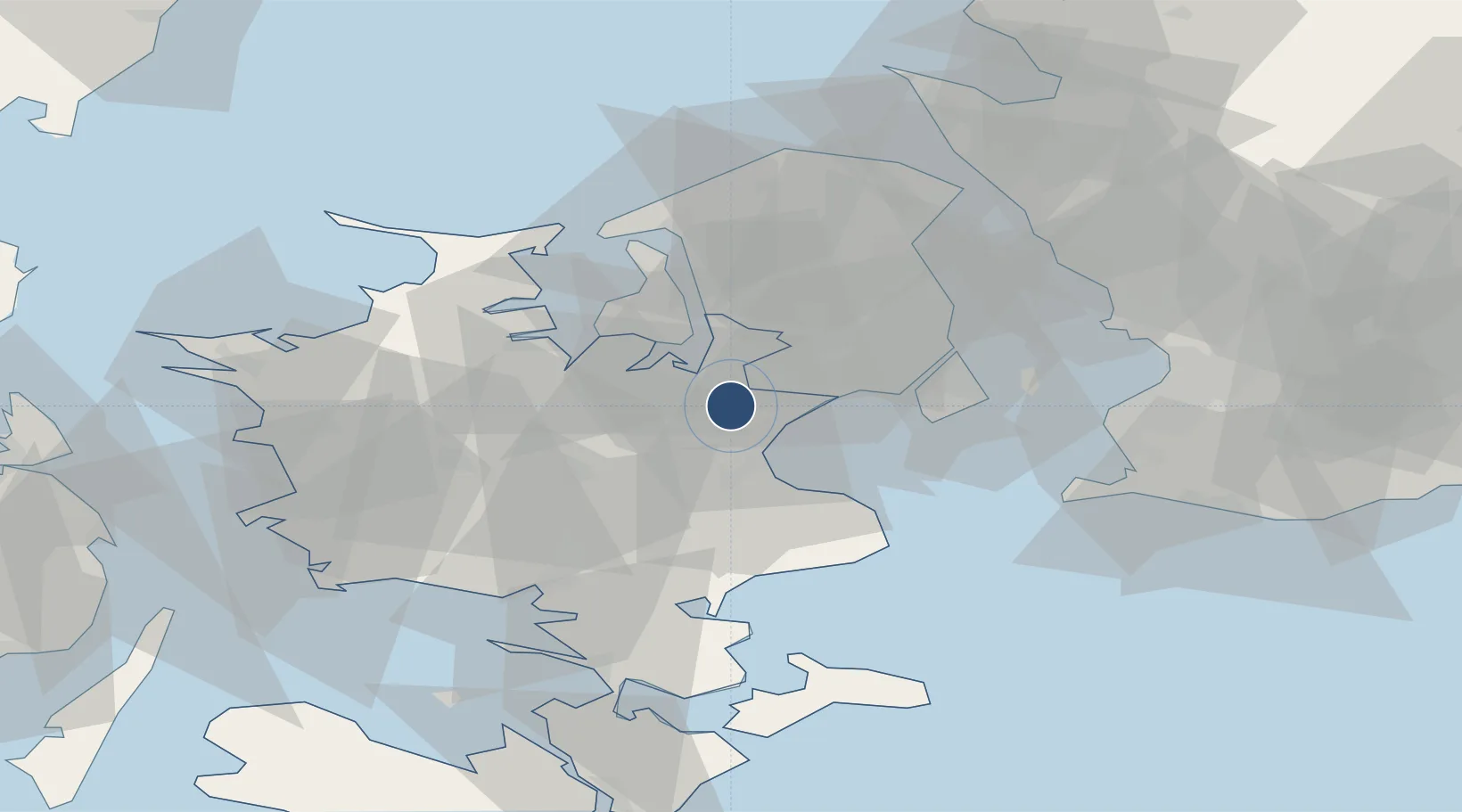
55.5856°, 12.1314°
5,709 ft
Longest runway
2
Runways
146 ft
Elevation

Runway & Layout

Copenhagen Roskilde Airport runway & taxiway layout
Runway & taxiway layout — OpenStreetMap (ODbL) / OurAirports

Radio Frequencies

ATIS
123.8 MHz
TWR
118.9 MHz
TWR
119.65 MHz
APP
125.525 MHz
MISC
130.225 MHz
HANDLING
OurAirports

Navaids

RK NDB Roskilde 368 kHz
OurAirports

Runways · 2

RunwayDimensions SurfaceTrue headingLit
11/29 5,709 × 105ft Asphalt 116°
03/21 4,921 × 105ft Asphalt 031°
OurAirports

Airport Specifications

IATA code
RKE
OurAirports
ICAO code
EKRK
OurAirports
Airport class
Medium airport
OurAirports
Scheduled service
Yes
OurAirports
Runway surface
Asphalt
OurAirports
Served city
Roskilde
OurAirports

Location

Location of EKRK
Natural Earth 10m (public domain) · Sjaælland · EKRK · 55.59, 12.13GoogleOSMYandex

Nearby Logistics Neighbours

Airports
  1. 1Ringsted Airfield27 km
  2. 2København Vandflyveplads32 km
  3. 3Copenhagen Kastrup Airport33 km
  4. 4Malmö Sturup Airport79 km
  5. 5Ljungbyhed Airfield87 km
Nearest neighbours — logibook spatial index (haversine) over the source coordinates
Cities
  1. 1Tune4 km
  2. 2Karlslunde6 km
  3. 3Havdrup6 km
  4. 4Solrød Strand9 km
  5. 5Høje Tåstrup12 km
Nearest neighbours — logibook spatial index (haversine) over the source coordinates
Ports
  1. 1Koge16 km
  2. 2Frederikssund28 km
  3. 3Holbaek30 km
  4. 4Kyndbyvaerkets30 km
  5. 5Tuborg32 km
Nearest neighbours — logibook spatial index (haversine) over the source coordinates
Trade Zones
  1. 1Freeport of Copenhagen- Nordhavn33 km
  2. 2MTS Malmö Transport and Spedition61 km
  3. 3Freeport of Kiel187 km
  4. 4Swinoujscie Duty Free Zone233 km
  5. 5Gothenburg Boundless Customs Warehouse237 km
Nearest neighbours — logibook spatial index (haversine) over the source coordinates
DatabookThe Record of Consolidated Knowledge
Denmark beyond logistics?
Browse databook

All Sources

AirportsOurAirports
Public domain
Portsthe NGA World Port Index
Public domain (US gov)
LocationsUN/LOCODE
UN/LOCODE — free
Trade Zonesthe World Bank SEZ database
CC BY 4.0
Trade ZonesOpen Zone Map
CC BY
InfrastructureOpenStreetMap
ODbL 1.0
← Denmark airports