Transport Functions
Port
Road
Hub Profile
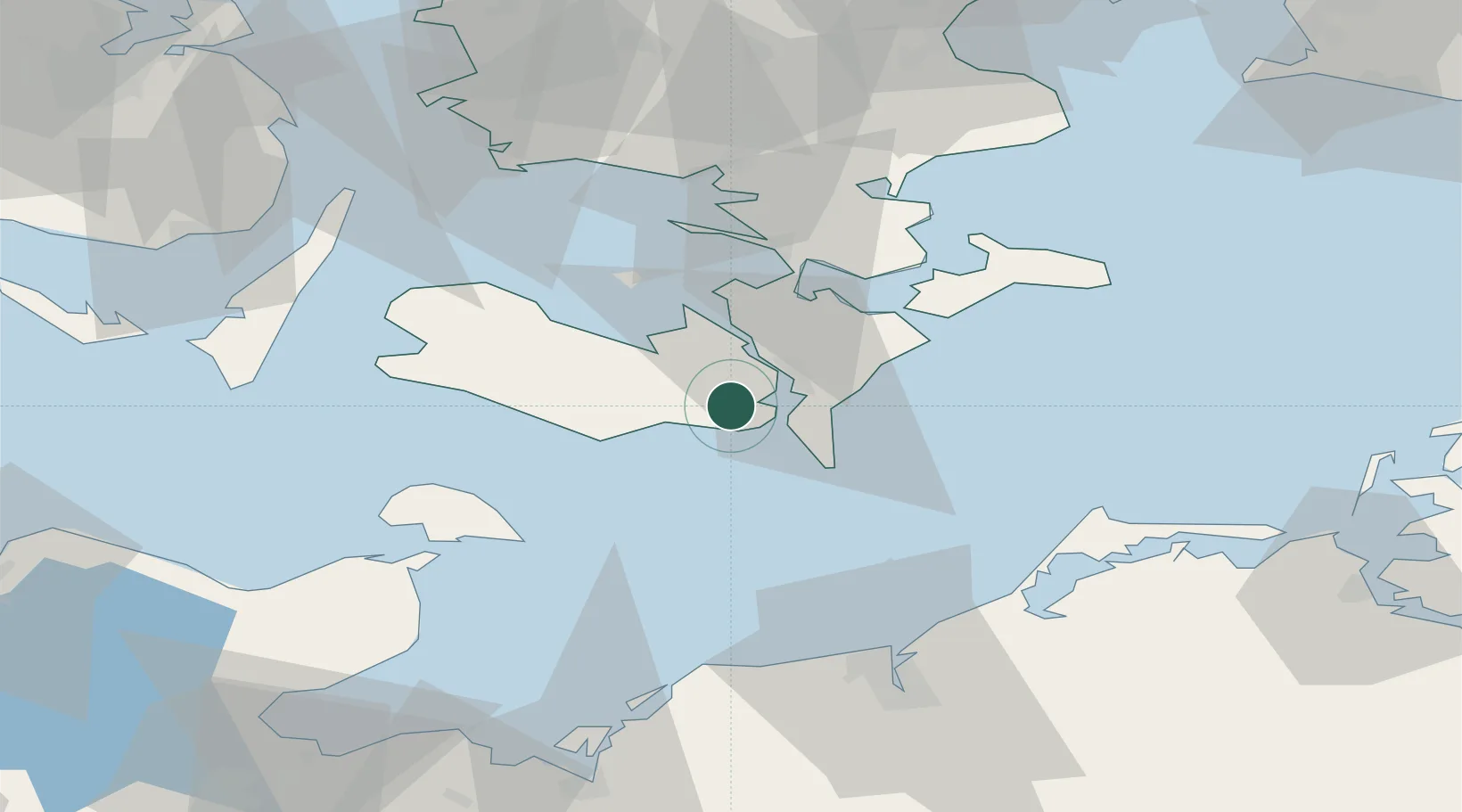
Place type
Populated place
Region
Zealand
Population
509
Time zone
Europe/Copenhagen
Elevation
23 m
Location
Nearby Logistics Neighbours
Cities
- 1Toreby6 km
- 2Nykøbing Falster11 km
- 3Væggerløse12 km
- 4Reersoe12 km
- 5Burso17 km
Ports
- 1Nysted4 km
- 2Nykobing11 km
- 3Sakskobing13 km
- 4Bandholm22 km
- 5Rodby Havn26 km
Airports
- 1Lolland Falster Maribo Airport20 km
- 2Ringsted Airfield81 km
- 3Sydfyn (Tasinge) Airfield84 km
- 4Ærø Airfield85 km
- 5Rostock-Laage Airport93 km
Trade Zones
DatabookThe Record of Consolidated Knowledge
Denmark beyond logistics?