Transport Functions
Port
Road
Hub Profile
Place type
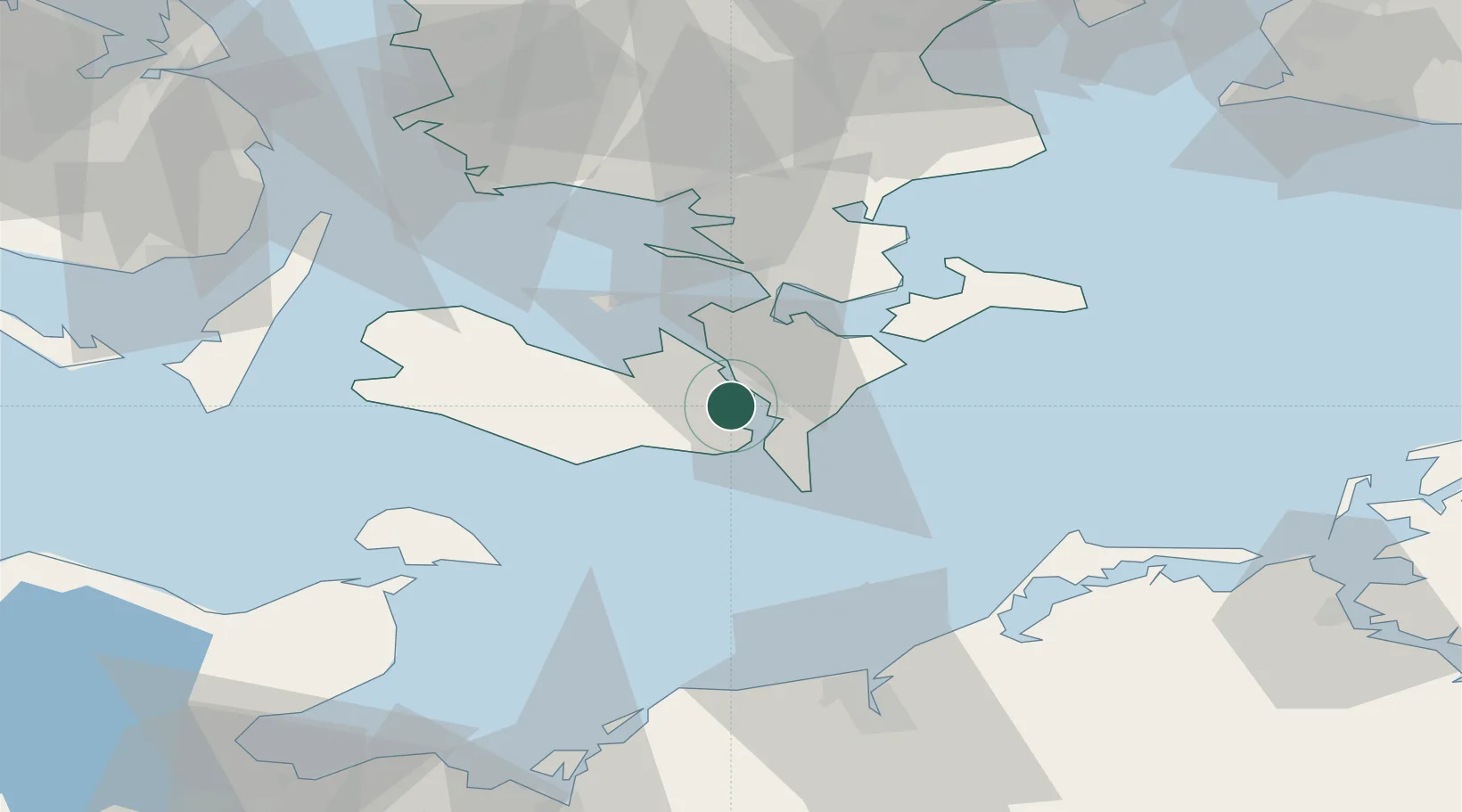
Populated place
Region
Zealand
Population
611
Time zone
Europe/Copenhagen
Elevation
10 m
Location
Nearby Logistics Neighbours
Cities
- 1Nykøbing Falster6 km
- 2Kettinge6 km
- 3Væggerløse10 km
- 4Reersoe11 km
- 5Burso19 km
Ports
- 1Nykobing5 km
- 2Nysted10 km
- 3Sakskobing12 km
- 4Bandholm21 km
- 5Stubbekobing22 km
Airports
- 1Lolland Falster Maribo Airport24 km
- 2Ringsted Airfield75 km
- 3Sydfyn (Tasinge) Airfield85 km
- 4Ærø Airfield87 km
- 5Copenhagen Roskilde Airport95 km
Trade Zones
- 1Freeport of Kiel115 km
- 2Freeport of Copenhagen- Nordhavn119 km
- 3MTS Malmö Transport and Spedition126 km
- 4Swinoujscie Duty Free Zone186 km
- 5Szczecin Duty Free Zone234 km
DatabookThe Record of Consolidated Knowledge
Denmark beyond logistics?