Seaport · Denmark

HorsensDKHOR

55.8667°, 9.8500°
6.4 m
Channel depth
11.8
Port liner connectivity

Channel & Berth Profile

SEA LEVEL (CD)CHANNEL BEDCargo pier · 4.9 mChannel · 6.4 mOil terminal · 6.4 mAnchorage · 9.4 m
NGA World Port Index

Pilotage, Tugs & Services

Pilotage availableYES
Pilotage advisableYES
Tug assistanceNO
Salvage tugsNO
Potable waterYES
MedicalYES
NGA World Port Index

Facilities & Capabilities

ContainerNO
Ro-RoNO
Liquid bulkNO
Dry bulkYES
Oil terminalNO
Break bulkYES
Dry dock
RepairsNO
BunkeringYES
Rail linkYES
Dangerous cargo
ISPS security
NGA World Port Index

Harbour Specifications

Harbour size
Very Small
NGA World Port Index
Harbour type
Coastal (Breakwater)
NGA World Port Index
Shelter
Fair
NGA World Port Index
Water body
Kattegat; North Atlantic Ocean
NGA World Port Index
Tidal range
1 m
NGA World Port Index
Overhead limit
Yes
NGA World Port Index

Liner Connectivity

11.8
PLSCI

Port Liner Shipping Connectivity Index for Horsens, as published by UNCTAD for the latest available quarter. Higher values indicate stronger scheduled liner-shipping integration.

Shown relative to the highest per-port PLSCI in the dataset (1,657.9).

UNCTAD · Port Liner Shipping Connectivity Index

Location

Location of DKHOR
Natural Earth 10m (public domain) · Midtjylland · DKHOR · 55.87, 9.85GoogleOSMYandex

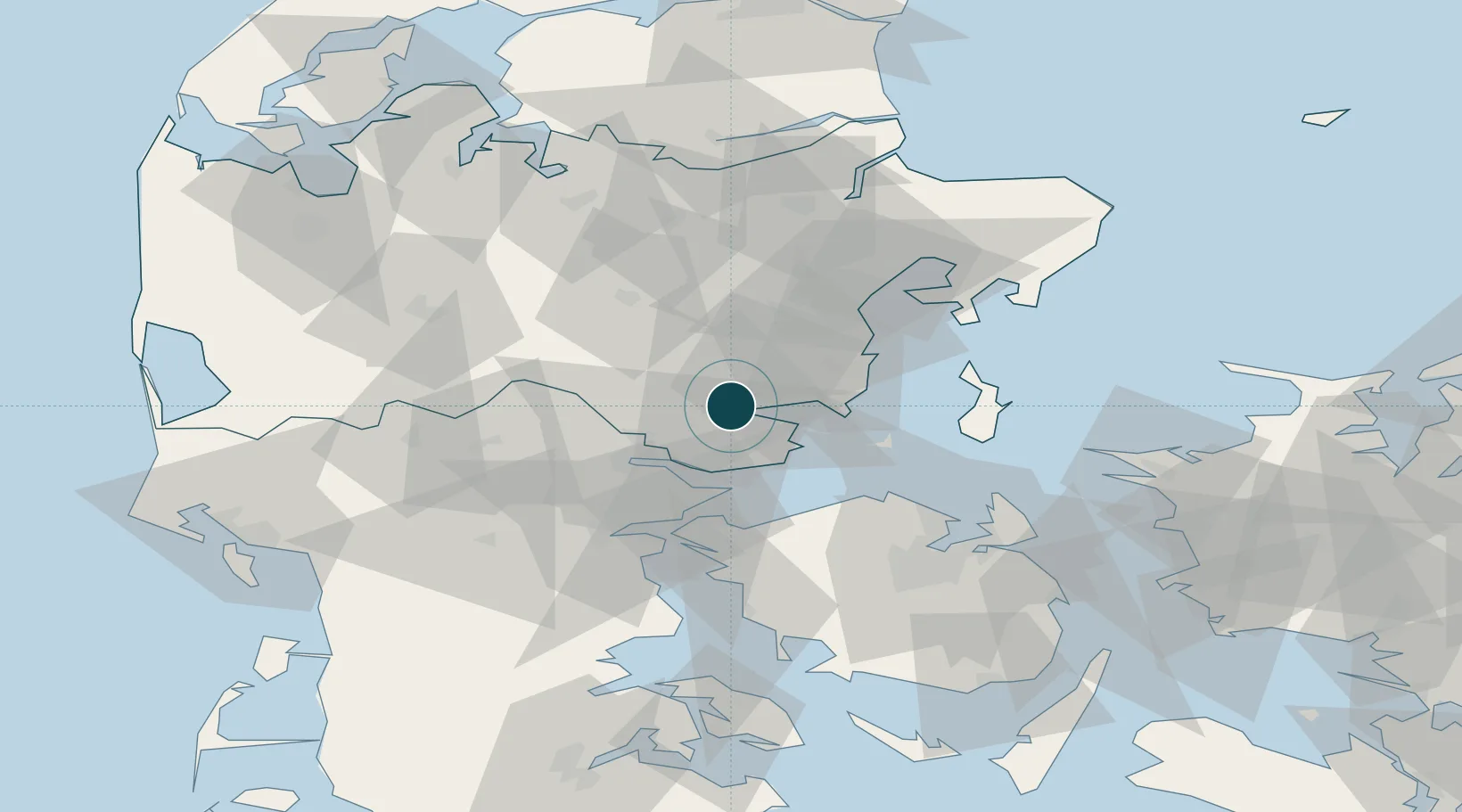
Nearby Logistics Neighbours

Ports
  1. 1Vejle25 km
  2. 2Fredericia34 km
  3. 3Arhus39 km
  4. 4Middelfart41 km
  5. 5Skaerbaek42 km
Nearest neighbours — logibook spatial index (haversine) over the source coordinates
Cities
  1. 1Hovedgård12 km
  2. 2Barrit17 km
  3. 3Skanderborg19 km
  4. 4Juelsminde21 km
  5. 5Stilling24 km
Nearest neighbours — logibook spatial index (haversine) over the source coordinates
Airports
  1. 1Aarhus Seaplane Terminal40 km
  2. 2Billund Airport46 km
  3. 3Odense Hans Christian Andersen Airport53 km
  4. 4Kolding Vamdrup Airfield58 km
  5. 5Midtjyllands Airport / Air Base Karup67 km
Nearest neighbours — logibook spatial index (haversine) over the source coordinates
Trade Zones
  1. 1Freeport of Kiel172 km
  2. 2Freeport of Copenhagen- Nordhavn173 km
  3. 3MTS Malmö Transport and Spedition205 km
  4. 4Gothenburg Boundless Customs Warehouse237 km
  5. 5Freeport of Cuxhaven (Freihafen Cuxhaven)241 km
Nearest neighbours — logibook spatial index (haversine) over the source coordinates
DatabookThe Record of Consolidated Knowledge
Denmark beyond logistics?
Browse databook

All Sources

Portsthe NGA World Port Index
Public domain (US gov)
Logistics performanceUNCTAD
CC BY 3.0 IGO
AirportsOurAirports
Public domain
LocationsUN/LOCODE
UN/LOCODE — free
Trade Zonesthe World Bank SEZ database
CC BY 4.0
Trade ZonesOpen Zone Map
CC BY
← Denmark ports