Large airport · Denmark

Odense Hans Christian Andersen AirportEKOD
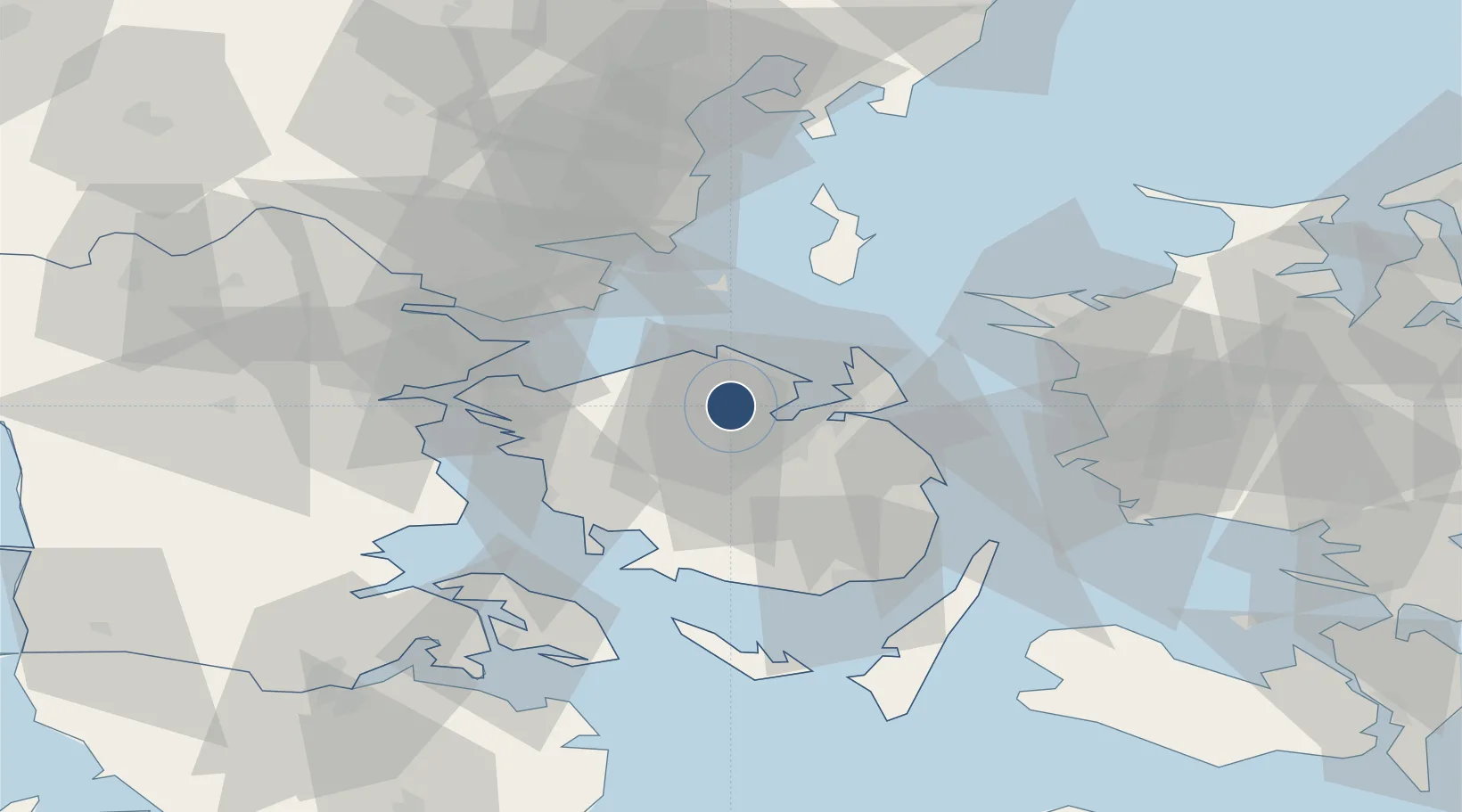
55.4753°, 10.3272°
6,053 ft
Longest runway
2
Runways
56 ft
Elevation

Runway & Layout

Odense Hans Christian Andersen Airport runway & taxiway layout
Runway & taxiway layout — OpenStreetMap (ODbL) / OurAirports

Radio Frequencies

AFIS
119.525 MHz
OurAirports

Runways · 2

RunwayDimensions SurfaceTrue headingLit
06/24 6,053 × 148ft Asphalt 060°
13/31 2,280 × 98ft Grass 130°
OurAirports

Airport Specifications

IATA code
ODE
OurAirports
ICAO code
EKOD
OurAirports
Airport class
Large airport
OurAirports
Scheduled service
Yes
OurAirports
Runway surface
Asphalt
OurAirports
Served city
Odense
OurAirports

Location

Location of EKOD
Natural Earth 10m (public domain) · Syddanmark · EKOD · 55.48, 10.33GoogleOSMYandex

Nearby Logistics Neighbours

Airports
  1. 1Sydfyn (Tasinge) Airfield53 km
  2. 2Kolding Vamdrup Airfield63 km
  3. 3Sønderborg Airport66 km
  4. 4Ærø Airfield70 km
  5. 5Skrydstrup Air Base73 km
Nearest neighbours — logibook spatial index (haversine) over the source coordinates
Cities
  1. 1Klintebjerg8 km
  2. 2Højby18 km
  3. 3Bogense18 km
  4. 4Birkum20 km
  5. 5Årslev22 km
Nearest neighbours — logibook spatial index (haversine) over the source coordinates
Ports
  1. 1Odense7 km
  2. 2Kerteminde22 km
  3. 3Nyborg35 km
  4. 4Assens36 km
  5. 5Fredericia37 km
Nearest neighbours — logibook spatial index (haversine) over the source coordinates
Trade Zones
  1. 1Freeport of Kiel127 km
  2. 2Freeport of Copenhagen- Nordhavn145 km
  3. 3MTS Malmö Transport and Spedition175 km
  4. 4Freeport of Cuxhaven (Freihafen Cuxhaven)216 km
  5. 5Gothenburg Boundless Customs Warehouse264 km
Nearest neighbours — logibook spatial index (haversine) over the source coordinates
DatabookThe Record of Consolidated Knowledge
Denmark beyond logistics?
Browse databook

All Sources

AirportsOurAirports
Public domain
Portsthe NGA World Port Index
Public domain (US gov)
LocationsUN/LOCODE
UN/LOCODE — free
Trade Zonesthe World Bank SEZ database
CC BY 4.0
Trade ZonesOpen Zone Map
CC BY
InfrastructureOpenStreetMap
ODbL 1.0
← Denmark airports