Transport Functions
Multimodal
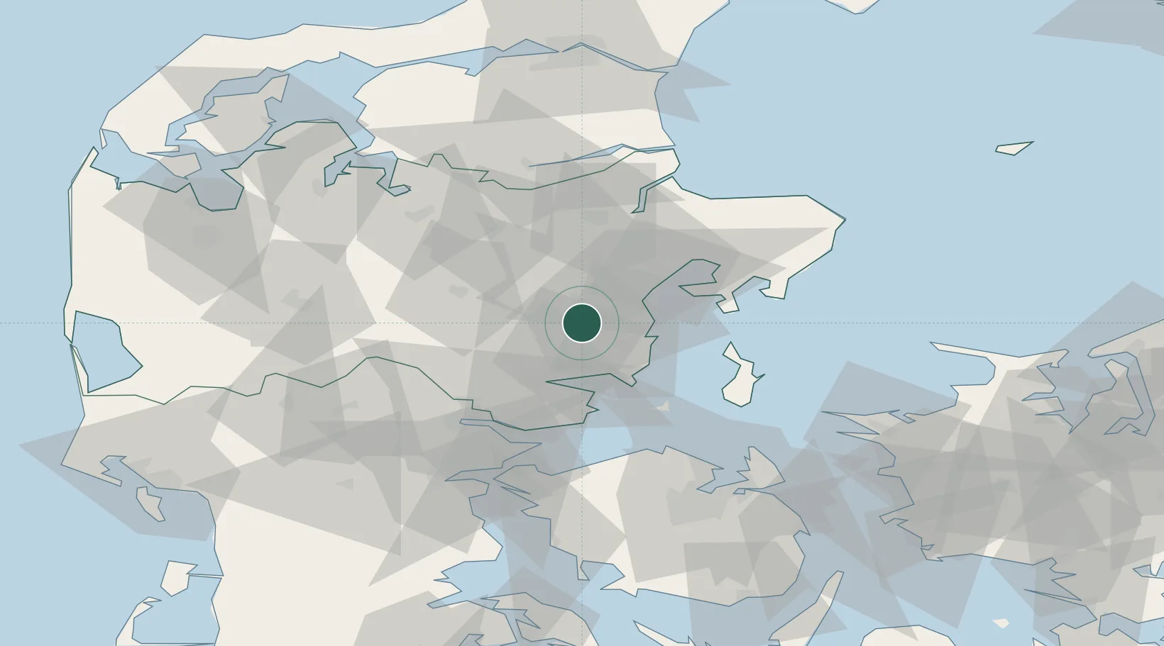
Hub Profile
Place type
Populated place
Region
Central Jutland
Population
3,655
Time zone
Europe/Copenhagen
Elevation
68 m
Location
Nearby Logistics Neighbours
Cities
- 1Tranbjerg10 km
- 2Viby11 km
- 3Skanderborg11 km
- 4Åbyhøj/Århus13 km
- 5Hovedgård13 km
Airports
Trade Zones
DatabookThe Record of Consolidated Knowledge
Denmark beyond logistics?