UN/LOCODE hub · Denmark
DKAAR

Aarhus

56.1664°, 10.2141°
5
Transport functions
1
Container terminals

Transport Functions

Port
Rail
Road
Airport
Postal
Aarhus is also a profiled seaport →
UN/LOCODE

Hub Profile

Region
82
GeoNames
Logistics facilities
12
UN/LOCODE
Container terminals
1
UN/LOCODE

Location

Location of DKAAR
Natural Earth 10m (public domain) · 82 · DKAAR · 56.17, 10.21GoogleOSMYandex

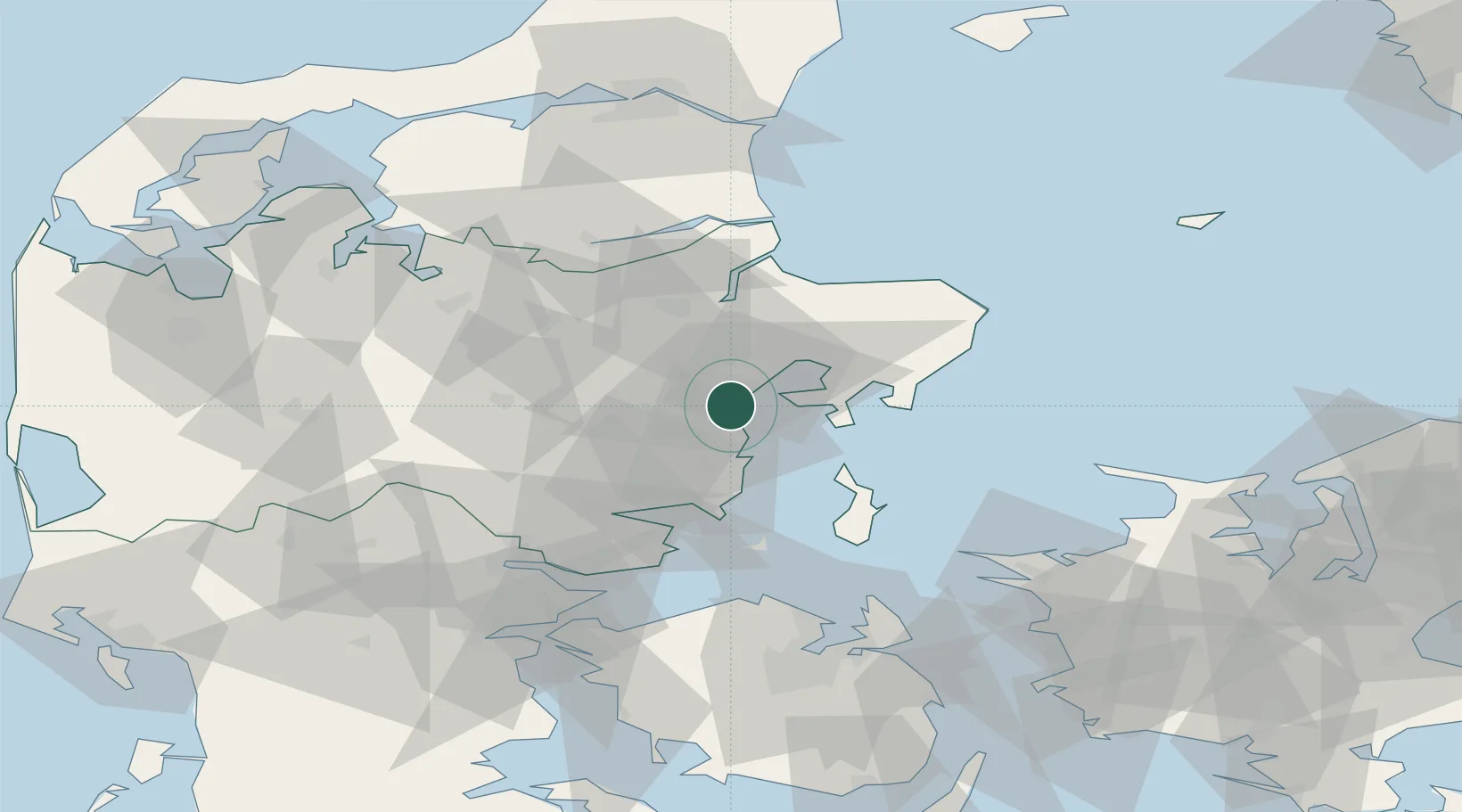
Nearby Logistics Neighbours

Cities
  1. 1Egå4 km
  2. 2Åbyhøj/Århus5 km
  3. 3Viby7 km
  4. 4Tranbjerg8 km
  5. 5Stilling17 km
Nearest neighbours — logibook spatial index (haversine) over the source coordinates
Ports
  1. 1Studstrup13 km
  2. 2Randers35 km
  3. 3Horsens40 km
  4. 4Grenaa Havn52 km
  5. 5Mariager56 km
Nearest neighbours — logibook spatial index (haversine) over the source coordinates
Airports
  1. 1Aarhus Seaplane Terminal3 km
  2. 2Aarhus Airport29 km
  3. 3Midtjyllands Airport / Air Base Karup70 km
  4. 4Skive Airport77 km
  5. 5Odense Hans Christian Andersen Airport77 km
Nearest neighbours — logibook spatial index (haversine) over the source coordinates
Trade Zones
  1. 1Freeport of Copenhagen- Nordhavn157 km
  2. 2MTS Malmö Transport and Spedition190 km
  3. 3Gothenburg Boundless Customs Warehouse197 km
  4. 4Freeport of Kiel204 km
  5. 5Freeport of Cuxhaven (Freihafen Cuxhaven)281 km
Nearest neighbours — logibook spatial index (haversine) over the source coordinates
DatabookThe Record of Consolidated Knowledge
Denmark beyond logistics?
Browse databook

All Sources

LocationsUN/LOCODE
UN/LOCODE — free
Portsthe NGA World Port Index
Public domain (US gov)
AirportsOurAirports
Public domain
Trade Zonesthe World Bank SEZ database
CC BY 4.0
Trade ZonesOpen Zone Map
CC BY
← Denmark locations