Transport Functions
Multimodal
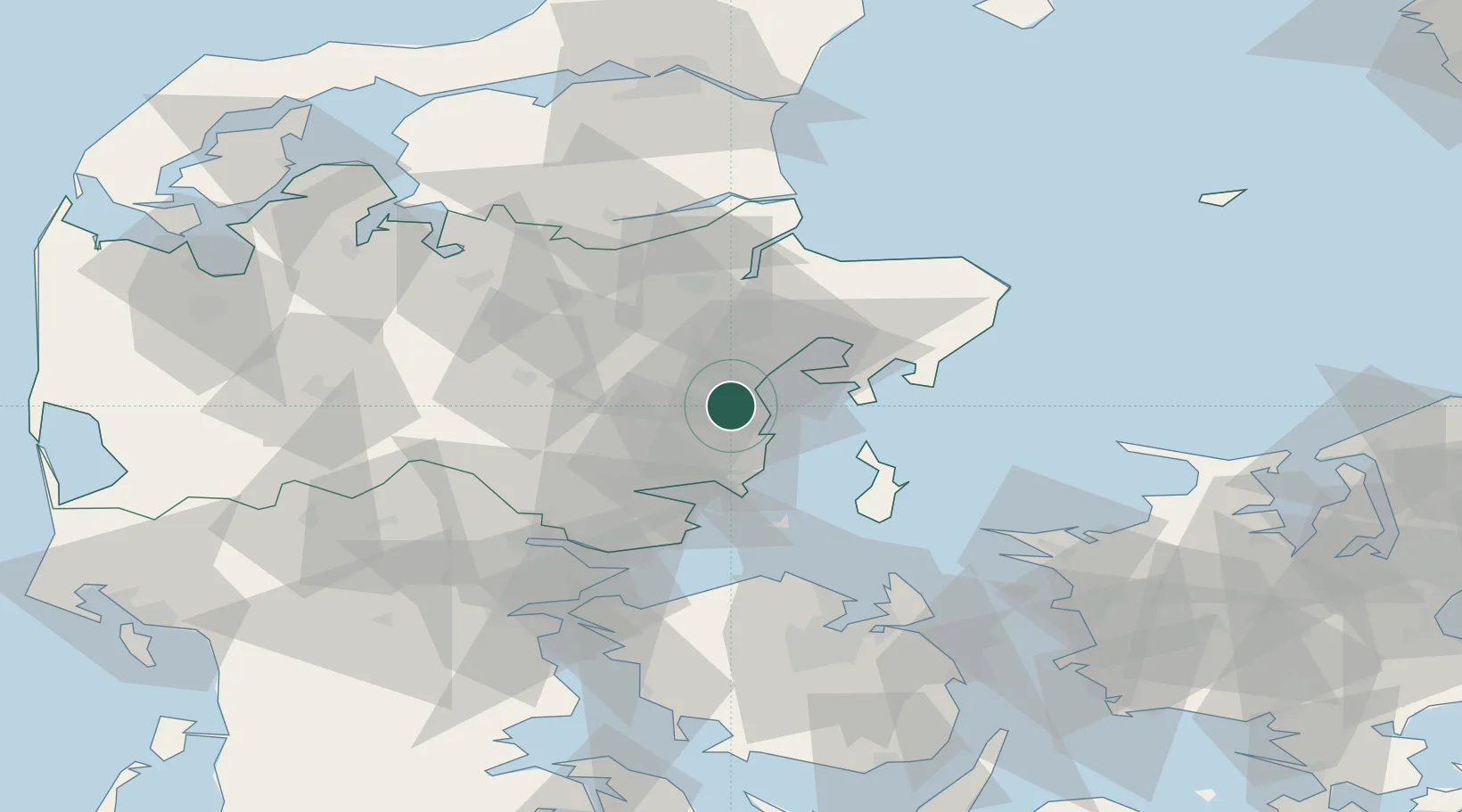
Hub Profile
Place type
Populated place
Region
Central Jutland
Population
7,307
Time zone
Europe/Copenhagen
Elevation
74 m
Location
Nearby Logistics Neighbours
DatabookThe Record of Consolidated Knowledge
Denmark beyond logistics?