UN/LOCODE hub · Germany
DEAYU

Altenkirchen (Rügen)

54.6333°, 13.3333°
1
Transport functions

Transport Functions

Multimodal
UN/LOCODE

Hub Profile

Region
MV
GeoNames

Location

Location of DEAYU
Natural Earth 10m (public domain) · MV · DEAYU · 54.63, 13.33GoogleOSMYandex

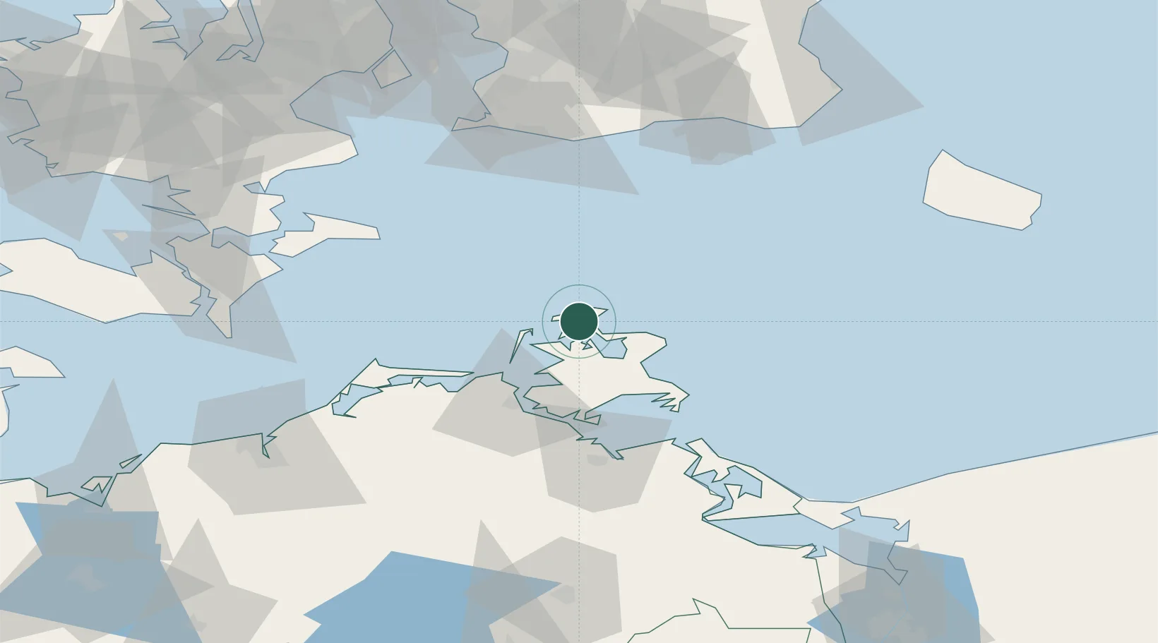
Nearby Logistics Neighbours

Cities
  1. 1Vitte (Hiddensee)17 km
  2. 2Schaprode17 km
  3. 3Marlow18 km
  4. 4Suhrendorf23 km
  5. 5Binz31 km
Nearest neighbours — logibook spatial index (haversine) over the source coordinates
Ports
  1. 1Sassnitz24 km
  2. 2Stralsund38 km
  3. 3Wolgast71 km
  4. 4Stege78 km
  5. 5Trelleborg82 km
Nearest neighbours — logibook spatial index (haversine) over the source coordinates
Airports
  1. 1Heringsdorf Airport99 km
  2. 2Malmö Sturup Airport100 km
  3. 3Bornholm Airport103 km
  4. 4Rostock-Laage Airport105 km
  5. 5Neubrandenburg Trollenhagen Airport115 km
Nearest neighbours — logibook spatial index (haversine) over the source coordinates
Trade Zones
  1. 1Swinoujscie Duty Free Zone102 km
  2. 2MTS Malmö Transport and Spedition109 km
  3. 3Freeport of Copenhagen- Nordhavn129 km
  4. 4Szczecin Duty Free Zone157 km
  5. 5Freeport of Kiel207 km
Nearest neighbours — logibook spatial index (haversine) over the source coordinates
DatabookThe Record of Consolidated Knowledge
Germany beyond logistics?
Browse databook

All Sources

LocationsUN/LOCODE
UN/LOCODE — free
Portsthe NGA World Port Index
Public domain (US gov)
AirportsOurAirports
Public domain
Trade Zonesthe World Bank SEZ database
CC BY 4.0
Trade ZonesOpen Zone Map
CC BY
← Germany locations