Transport Functions
Port
Road
Hub Profile
Region
NI
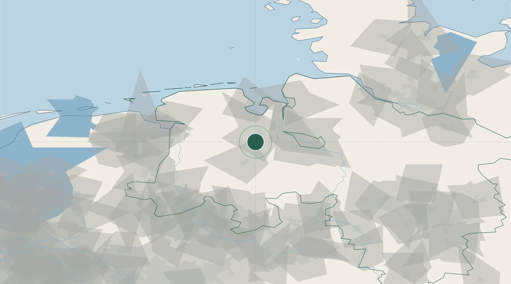
Location
Nearby Logistics Neighbours
Airports
- 1Bremen Airport41 km
- 2Diepholz Air Base58 km
- 3Wittmundhafen Air Base60 km
- 4Emden Airport71 km
- 5Harlesiel Airfield72 km
Trade Zones
DatabookThe Record of Consolidated Knowledge
Germany beyond logistics?