Transport Functions
Port
Rail
Road
Hub Profile
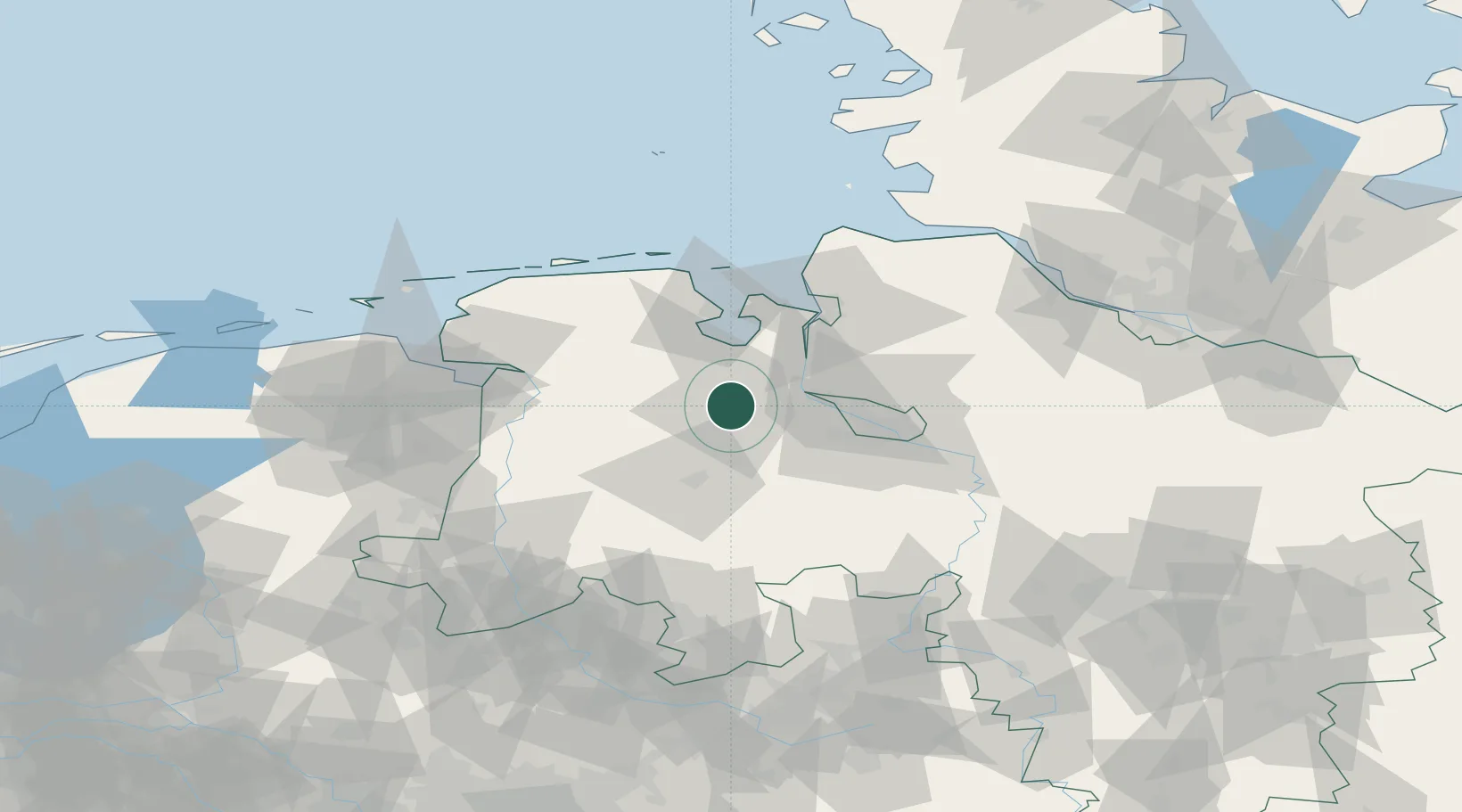
Place type
District seat
Region
Lower Saxony
Population
159,218
Time zone
Europe/Berlin
Elevation
10 m
Location
Nearby Logistics Neighbours
Cities
- 1Hundsmühlen8 km
- 2Rastede9 km
- 3Holle11 km
- 4Wüsting11 km
- 5Landkreis Ammerland13 km
Ports
- 1Elsfleth19 km
- 2Brake26 km
- 3Bremen38 km
- 4Nordenham40 km
- 5Wilhelmshaven41 km
Airports
- 1Bremen Airport42 km
- 2Wittmundhafen Air Base55 km
- 3Harlesiel Airfield65 km
- 4Diepholz Air Base65 km
- 5Emden Airport69 km
Trade Zones
DatabookThe Record of Consolidated Knowledge
Germany beyond logistics?