Transport Functions
Multimodal
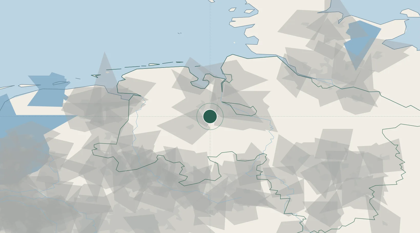
Hub Profile
Place type
Local administrative seat
Region
Lower Saxony
Population
13,499
Time zone
Europe/Berlin
Elevation
29 m
Location
Nearby Logistics Neighbours
Cities
- 1Grossenkneten9 km
- 2Dötlingen10 km
- 3Brettorf11 km
- 4Wüsting11 km
- 5Ganderkesee14 km
Airports
- 1Bremen Airport31 km
- 2Diepholz Air Base48 km
- 3Wittmundhafen Air Base74 km
- 4Harlesiel Airfield84 km
- 5Emden Airport85 km
Trade Zones
DatabookThe Record of Consolidated Knowledge
Germany beyond logistics?