About
Methodology
Sources
Licensing
English
EN
English
TR
Türkçe
DE
Deutsch
FR
Français
ES
Español
IT
Italiano
PT
Português
NL
Nederlands
PL
Polski
RU
Русский
UK
Українська
CS
Čeština
RO
Română
EL
Ελληνικά
BG
Български
AR
العربية
FA
فارسی
UR
اردو
HI
हिन्दी
BN
বাংলা
ID
Bahasa Indonesia
VI
Tiếng Việt
ZH
中文
JA
日本語
KO
한국어
logibook
/
Countries
/
Germany
/
Locations
/
Wüsting
UN/LOCODE hub ·
Germany
DE
UWT
Wüsting
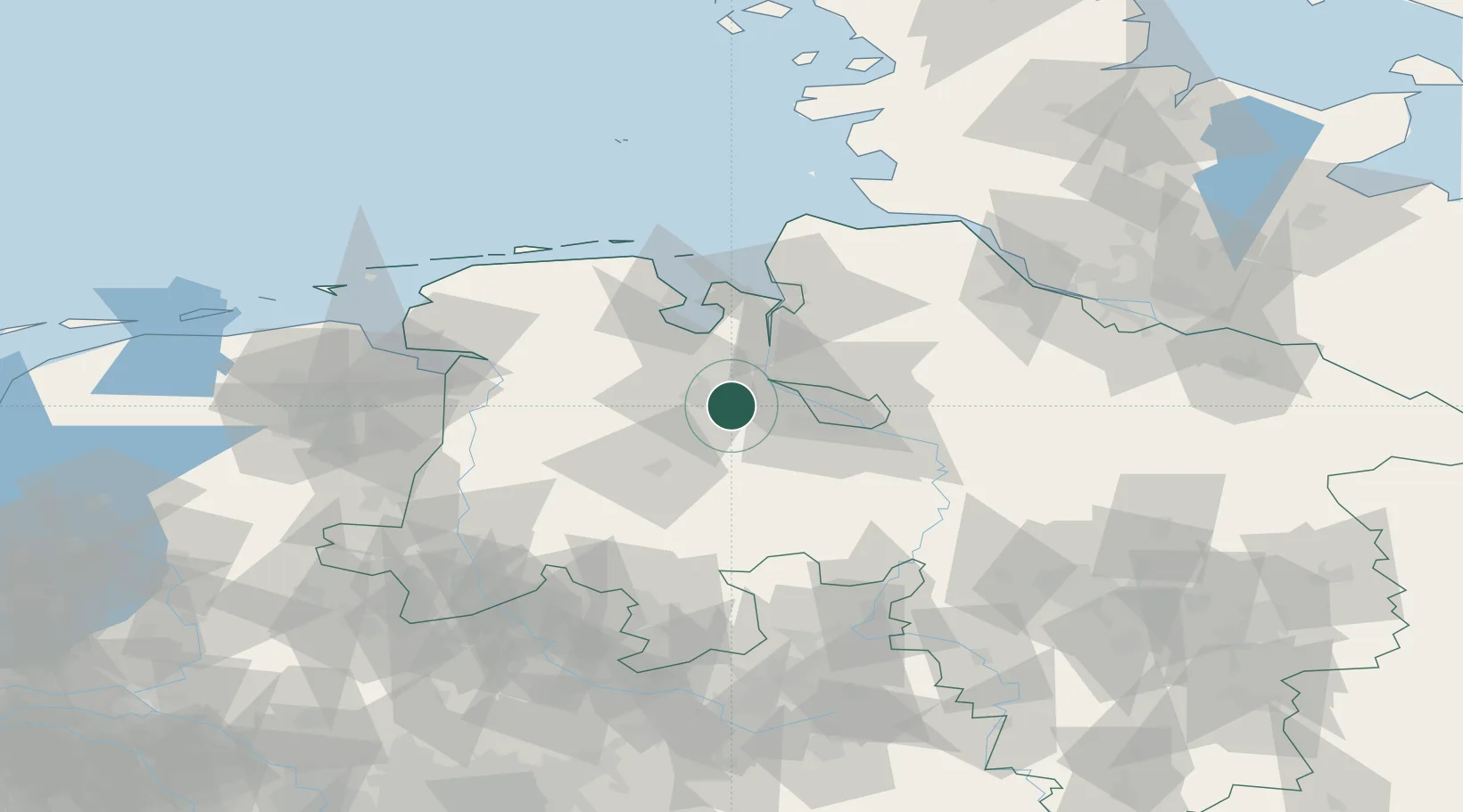
53.1167°, 8.3500°
2
Transport functions
Transport Functions
Rail
Road
UN/LOCODE
Hub Profile
Region
NI
GeoNames
Location
Natural Earth 10m (public domain) · NI · DEUWT · 53.12, 8.35
Google ↗
OSM ↗
Yandex ↗
Nearby Logistics Neighbours
Cities
1
Holle
4 km
2
Hatten
11 km
3
Hundsmühlen
11 km
4
Oldenburg
11 km
5
Elsfleth
15 km
Nearest neighbours — logibook spatial index (haversine) over the source coordinates
Ports
1
Oldenburg
9 km
2
Elsfleth
15 km
3
Brake
26 km
4
Bremen
28 km
5
Nordenham
42 km
Nearest neighbours — logibook spatial index (haversine) over the source coordinates
Airports
1
Bremen Airport
30 km
2
Diepholz Air Base
59 km
3
Wittmundhafen Air Base
66 km
4
Harlesiel Airfield
74 km
5
Sea-Airport Cuxhaven/Nordholz / Nordholz Naval Airbase
75 km
Nearest neighbours — logibook spatial index (haversine) over the source coordinates
Trade Zones
1
Freeport of Bremerhaven (Freihafen Bremerhaven)
28 km
2
Freeport of Cuxhaven (Freihafen Cuxhaven)
80 km
3
Freeport of Emden
81 km
4
Freeport of Kiel
181 km
5
Freeport of Duisburg
221 km
Nearest neighbours — logibook spatial index (haversine) over the source coordinates
Data
book
The Record of Consolidated Knowledge
Germany beyond logistics?
Browse databook
→
All Sources
Locations
UN/LOCODE
UN/LOCODE — free
↗
Ports
the NGA World Port Index
Public domain (US gov)
↗
Airports
OurAirports
Public domain
↗
Trade Zones
the World Bank SEZ database
CC BY 4.0
↗
Trade Zones
Open Zone Map
CC BY
↗
← Germany locations