Transport Functions
Port
Road
Hub Profile
Place type
Populated place
Region
Lower Saxony
Time zone
Europe/Berlin
Elevation
2 m
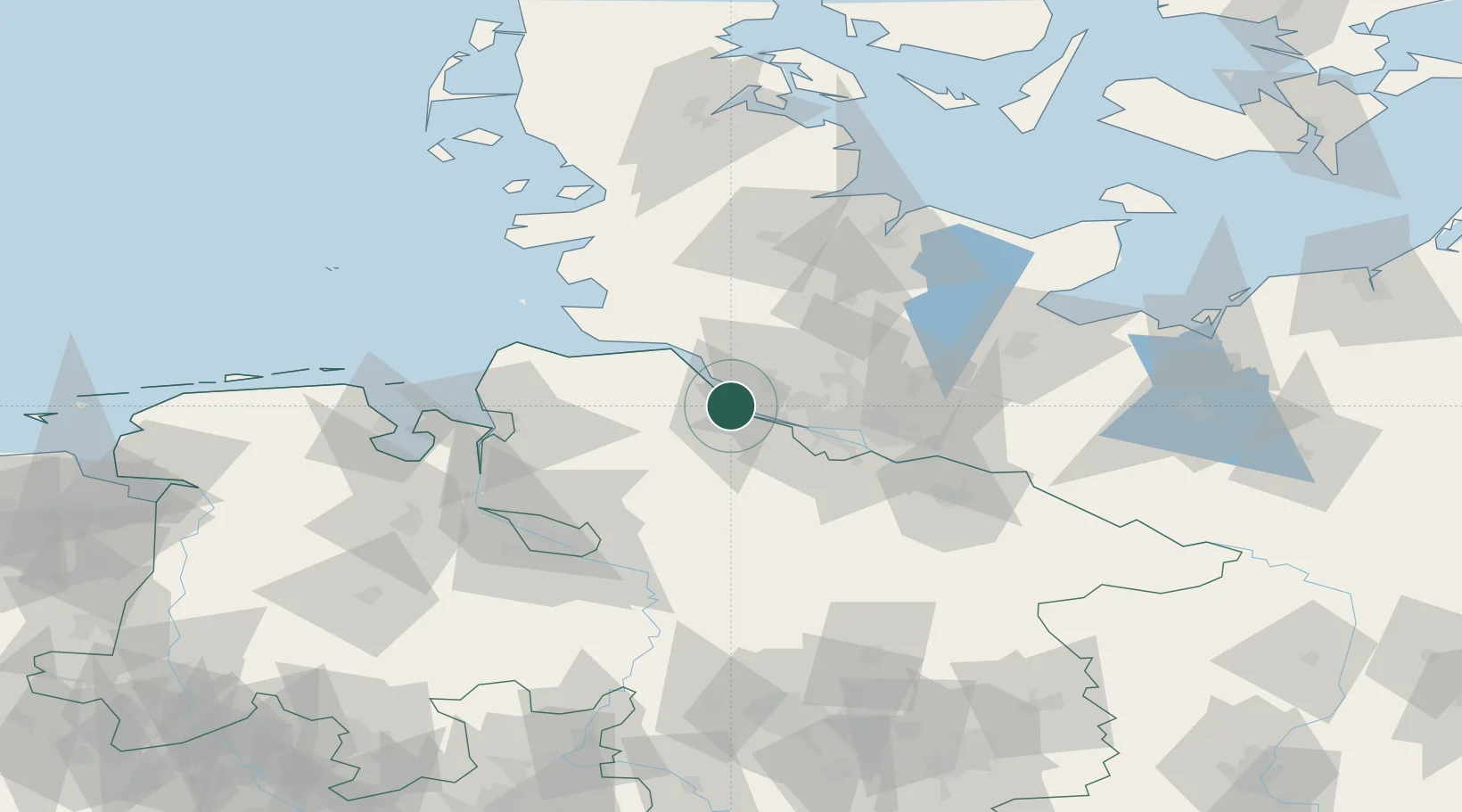
Location
Nearby Logistics Neighbours
Cities
- 1Abbenfleth4 km
- 2Bützfleth4 km
- 3Stade4 km
- 4Haseldorf6 km
- 5Barnkrug7 km
Ports
- 1Butzfleth2 km
- 2Gluckstadt18 km
- 3Hamburg29 km
- 4Itzehoe32 km
- 5Brunsbuttel Elbahafen36 km
Airports
Trade Zones
DatabookThe Record of Consolidated Knowledge
Germany beyond logistics?