Export Processing Zone · China

Ganyu Economic Development Zone Active
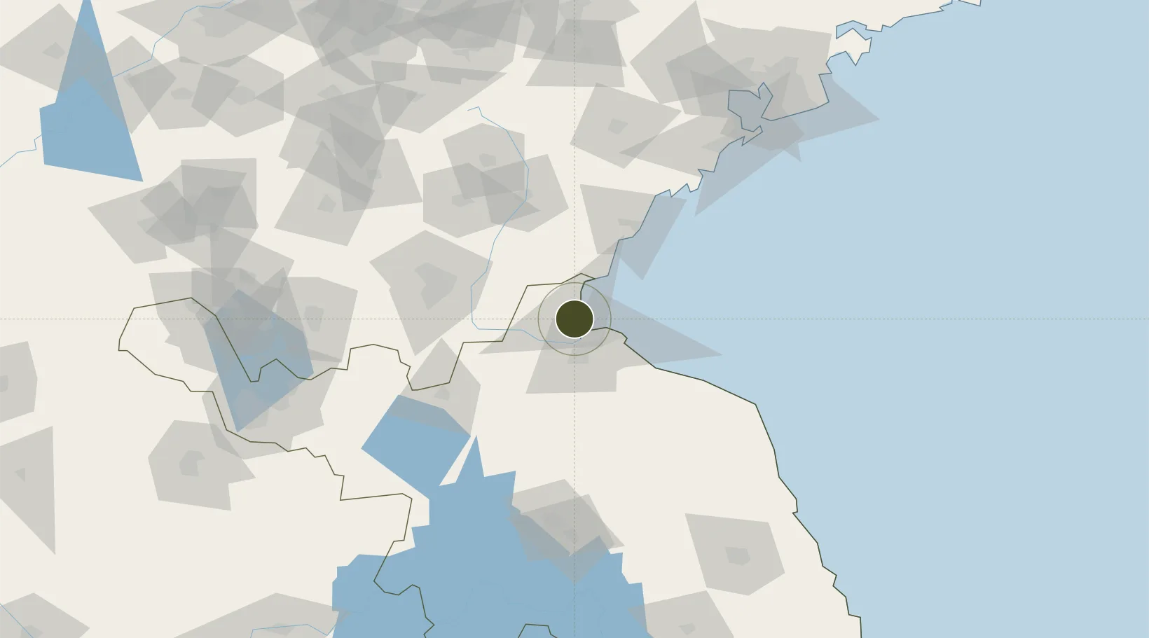
34.8324°, 119.1545°
1,400 ha
Zone area
29.1 km
Nearest port
46.6 km
Nearest airport

Gateway access

Nearest neighbours — logibook spatial index (haversine) over the source coordinates

Zone profile

Zone type
Export Processing Zone
Open Zone Map
Region
Jiangsu
Open Zone Map
Status
Active
Open Zone Map
Management
Public
Open Zone Map
Operator
Working Committee of Ganyu Economic Development Zone
Open Zone Map
Legal framework
Ganyu County, Lianyungang Marine Economic Development Zone Project Development Strategy Planning report
Open Zone Map

Location

Location of ozm-1310
Natural Earth 10m (public domain) · Jiangsu · ozm-1310 · 34.83, 119.15GoogleOSMYandex

Nearby Logistics Neighbours

Ports
  1. 1Lianyungang29 km
  2. 2Lanshan34 km
  3. 3Rizhao72 km
  4. 4Qingdao Gang167 km
  5. 5Yangzhou287 km
Nearest neighbours — logibook spatial index (haversine) over the source coordinates
Airports
  1. 1Lianyungang Huaguoshan International Airport47 km
  2. 2Rizhao Shanzihe Airport66 km
  3. 3Linyi Qiyang Airport72 km
  4. 4Huai'an Lianshui Airport116 km
  5. 5Zhucheng Air Base135 km
Nearest neighbours — logibook spatial index (haversine) over the source coordinates
Cities
  1. 1Lianyungang23 km
  2. 2Lanshan Pt32 km
  3. 3Baimao55 km
  4. 4Rizhao63 km
  5. 5Linyi94 km
Nearest neighbours — logibook spatial index (haversine) over the source coordinates
Trade Zones
  1. 1Ganyu Ocean Economical Development Zone5 km
  2. 2Lianyungang Economic Development Zone17 km
  3. 3Lianyungang Export Processing Zone20 km
  4. 4Haizhou Economic Development Zone31 km
  5. 5Jiangsu Haizhou Economic Development Zone31 km
Nearest neighbours — logibook spatial index (haversine) over the source coordinates
DatabookThe Record of Consolidated Knowledge
China beyond logistics?
Browse databook

All Sources

Trade ZonesOpen Zone Map
CC BY
Portsthe NGA World Port Index
Public domain (US gov)
AirportsOurAirports
Public domain
LocationsUN/LOCODE
UN/LOCODE — free
← China trade zones