Diversified Zone · China

Lianyungang Economic Development Zone Active
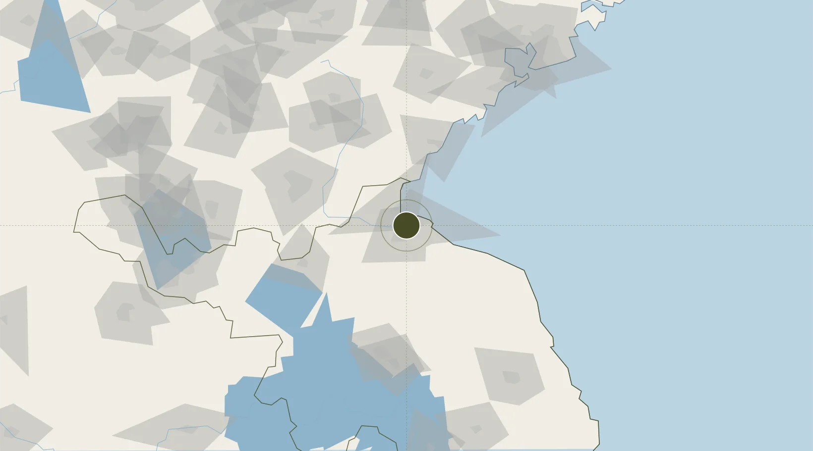
34.6989°, 119.2437°
12,600 ha
Zone area
19.2 km
Nearest port
32.2 km
Nearest airport

Gateway access

Nearest neighbours — logibook spatial index (haversine) over the source coordinates

Zone profile

Zone type
Diversified Zone
Open Zone Map
Region
Jiangsu
Open Zone Map
Status
Active
Open Zone Map
Management
Public
Open Zone Map
Operator
Working Committee of Lianyungang Economic Development Zone
Open Zone Map
Legal framework
Town and Village Layout Planning of Lianyungang Economic and Technological Development Zone (2019 edition)
Open Zone Map

Location

Location of ozm-1011
Natural Earth 10m (public domain) · Jiangsu · ozm-1011 · 34.70, 119.24GoogleOSMYandex

Nearby Logistics Neighbours

Ports
  1. 1Lianyungang19 km
  2. 2Lanshan44 km
  3. 3Rizhao82 km
  4. 4Qingdao Gang175 km
  5. 5Yangzhou271 km
Nearest neighbours — logibook spatial index (haversine) over the source coordinates
Airports
  1. 1Lianyungang Huaguoshan International Airport32 km
  2. 2Rizhao Shanzihe Airport79 km
  3. 3Linyi Qiyang Airport86 km
  4. 4Huai'an Lianshui Airport101 km
  5. 5Zhucheng Air Base149 km
Nearest neighbours — logibook spatial index (haversine) over the source coordinates
Cities
  1. 1Lianyungang11 km
  2. 2Lanshan Pt42 km
  3. 3Baimao69 km
  4. 4Rizhao73 km
  5. 5Zhangshan107 km
Nearest neighbours — logibook spatial index (haversine) over the source coordinates
Trade Zones
  1. 1Lianyungang Export Processing Zone7 km
  2. 2Haizhou Economic Development Zone16 km
  3. 3Jiangsu Haizhou Economic Development Zone16 km
  4. 4Ganyu Economic Development Zone17 km
  5. 5Ganyu Ocean Economical Development Zone20 km
Nearest neighbours — logibook spatial index (haversine) over the source coordinates
DatabookThe Record of Consolidated Knowledge
China beyond logistics?
Browse databook

All Sources

Trade ZonesOpen Zone Map
CC BY
Portsthe NGA World Port Index
Public domain (US gov)
AirportsOurAirports
Public domain
LocationsUN/LOCODE
UN/LOCODE — free
← China trade zones