UN/LOCODE hub · China
CNLSN

Lanshan Pt

35.0667°, 119.3667°
1
Transport functions

Transport Functions

Port
Lanshan Pt is also a profiled seaport →
UN/LOCODE

Hub Profile

Region
SD
GeoNames

Location

Location of CNLSN
Natural Earth 10m (public domain) · SD · CNLSN · 35.07, 119.37GoogleOSMYandex

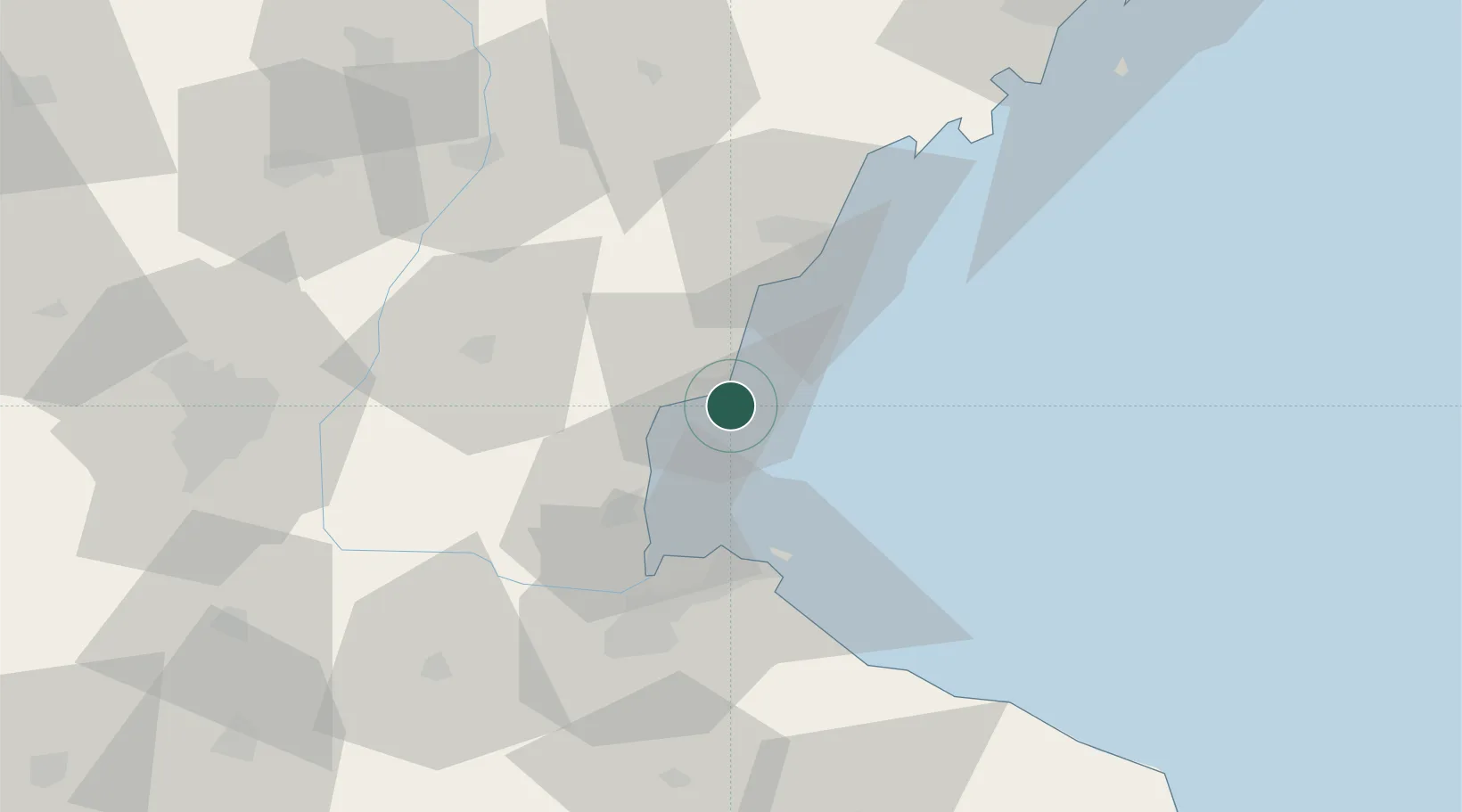
Nearby Logistics Neighbours

Cities
  1. 1Rizhao31 km
  2. 2Lianyungang39 km
  3. 3Dongjiangkou69 km
  4. 4Dongjiakou70 km
  5. 5Baimao70 km
Nearest neighbours — logibook spatial index (haversine) over the source coordinates
Ports
  1. 1Lianyungang38 km
  2. 2Rizhao40 km
  3. 3Qingdao Gang135 km
  4. 4Longkou Gang297 km
  5. 5Yangzhou311 km
Nearest neighbours — logibook spatial index (haversine) over the source coordinates
Airports
  1. 1Rizhao Shanzihe Airport38 km
  2. 2Lianyungang Huaguoshan International Airport75 km
  3. 3Linyi Qiyang Airport87 km
  4. 4Zhucheng Air Base107 km
  5. 5Huai'an Lianshui Airport143 km
Nearest neighbours — logibook spatial index (haversine) over the source coordinates
Trade Zones
  1. 1Lanshan Economic Development Zone7 km
  2. 2Ganyu Ocean Economical Development Zone27 km
  3. 3Ganyu Economic Development Zone32 km
  4. 4Lianyungang Export Processing Zone40 km
  5. 5Lianyungang Economic Development Zone42 km
Nearest neighbours — logibook spatial index (haversine) over the source coordinates
DatabookThe Record of Consolidated Knowledge
China beyond logistics?
Browse databook

All Sources

LocationsUN/LOCODE
UN/LOCODE — free
Portsthe NGA World Port Index
Public domain (US gov)
AirportsOurAirports
Public domain
Trade Zonesthe World Bank SEZ database
CC BY 4.0
Trade ZonesOpen Zone Map
CC BY
← China locations