Export Processing Zone · China
Lianyungang Export Processing Zone
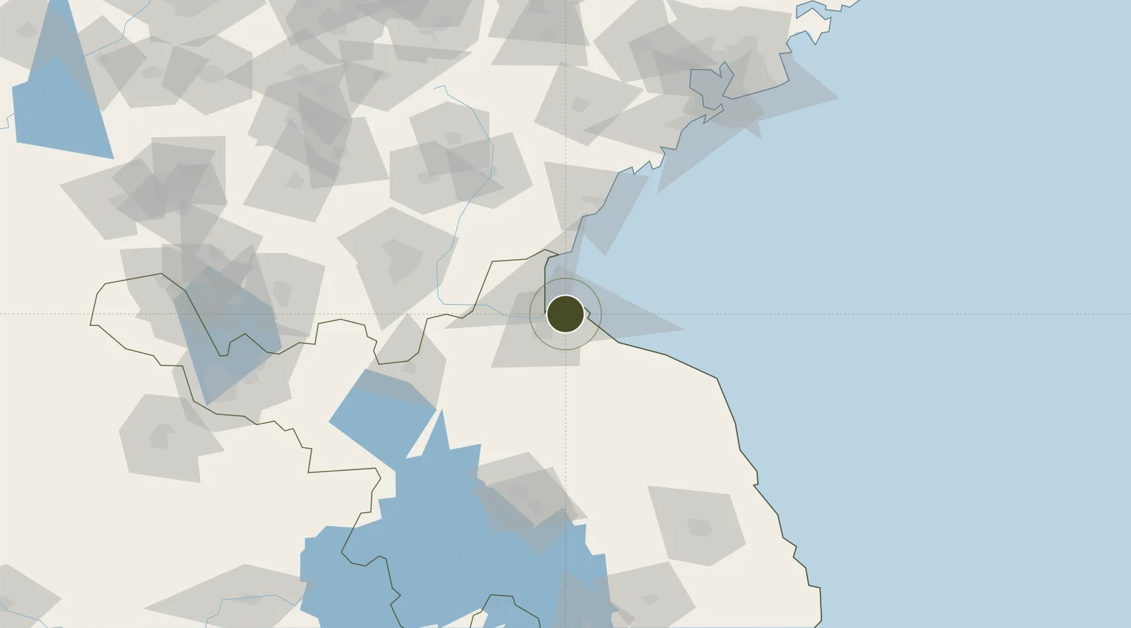
34.7102°, 119.3204°
300 ha
Zone area
12.1 km
Nearest port
35.4 km
Nearest airport
Gateway access
Zone profile
Zone type
Export Processing Zone
Region
Jiangsu
Established
2004
Management
Public agency
Operator
Administrative Committee of Lianyungang Export Processing Zone
Regulatory authority
Administrative Commission
Legal framework
State or Provincial Council Decree
Location
Fiscal & incentives
Corporate tax
25%
Tax relief
Reduced fixed-rate at 15% for high-tech enterprises
Relief duration
Perpetual
VAT
100% exempt on VAT on inputs and capex; reduced fixed-rate VAT at 13% for agricultural-related activities
Import duty (inputs)
100% exempt
Import duty (capex)
100% exempt
Profit repatriation
No exemption
Capital gains
No exemption
Withholding tax
No exemption
Min. investment
None
Min. export
100%
Employment incentive
No exemption
Developer incentive
Under review
Nearby Logistics Neighbours
Ports
- 1Lianyungang12 km
- 2Lanshan41 km
- 3Rizhao78 km
- 4Qingdao Gang170 km
- 5Yangzhou272 km
Airports
- 1Lianyungang Huaguoshan International Airport35 km
- 2Rizhao Shanzihe Airport77 km
- 3Linyi Qiyang Airport91 km
- 4Huai'an Lianshui Airport104 km
- 5Zhucheng Air Base147 km
Cities
- 1Lianyungang4 km
- 2Lanshan Pt40 km
- 3Rizhao70 km
- 4Baimao74 km
- 5Dongjiangkou106 km
DatabookThe Record of Consolidated Knowledge
China beyond logistics?