UN/LOCODE hub · China
CNDJK

Dongjiangkou

35.5833°, 119.7833°
2
Transport functions

Transport Functions

Port
Rail
UN/LOCODE

Hub Profile

Place type
Populated place
GeoNames
Region
Hunan
GeoNames
Time zone
Asia/Shanghai
GeoNames
Elevation
78 m
GeoNames

Location

Location of CNDJK
Natural Earth 10m (public domain) · Hunan · CNDJK · 35.58, 119.78GoogleOSMYandex

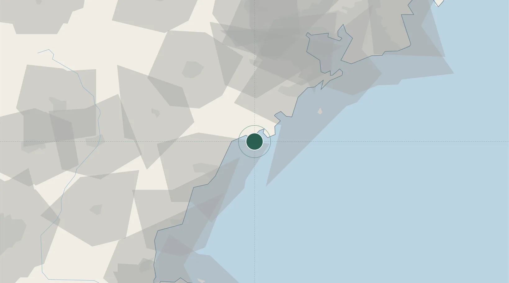
Nearby Logistics Neighbours

Cities
  1. 1Dongjiakou2 km
  2. 2Rizhao39 km
  3. 3Xianlang62 km
  4. 4Qingdao64 km
  5. 5Qianwan65 km
Nearest neighbours — logibook spatial index (haversine) over the source coordinates
Ports
  1. 1Rizhao30 km
  2. 2Qingdao Gang66 km
  3. 3Lanshan68 km
  4. 4Lianyungang99 km
  5. 5Longkou Gang232 km
Nearest neighbours — logibook spatial index (haversine) over the source coordinates
Airports
  1. 1Rizhao Shanzihe Airport46 km
  2. 2Zhucheng Air Base58 km
  3. 3Jiaozhou Jiaocheng Air Base86 km
  4. 4Qingdao Jiaodong International Airport91 km
  5. 5Weifang Nanyuan Airport132 km
Nearest neighbours — logibook spatial index (haversine) over the source coordinates
DatabookThe Record of Consolidated Knowledge
China beyond logistics?
Browse databook

All Sources

LocationsUN/LOCODE
UN/LOCODE — free
Portsthe NGA World Port Index
Public domain (US gov)
AirportsOurAirports
Public domain
Trade Zonesthe World Bank SEZ database
CC BY 4.0
Trade ZonesOpen Zone Map
CC BY
← China locations