UN/LOCODE hub · China
CNLYG
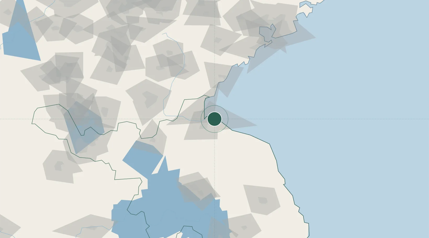
Lianyungang
34.7197°, 119.3593°
2,001,009
Population
1
Transport functions
2
Container terminals
Transport Functions
Port
Hub Profile
Place type
Provincial seat
Region
Jiangsu
Population
2,001,009
Time zone
Asia/Shanghai
Elevation
1 m
Logistics facilities
28
Container terminals
2
Location
Nearby Logistics Neighbours
Cities
- 1Lanshan Pt39 km
- 2Rizhao69 km
- 3Baimao77 km
- 4Dongjiangkou104 km
- 5Dongjiakou105 km
Ports
- 1Lanshan40 km
- 2Rizhao76 km
- 3Qingdao Gang168 km
- 4Yangzhou273 km
- 5Gaogang275 km
Airports
- 1Lianyungang Huaguoshan International Airport38 km
- 2Rizhao Shanzihe Airport76 km
- 3Linyi Qiyang Airport94 km
- 4Huai'an Lianshui Airport105 km
- 5Zhucheng Air Base146 km
DatabookThe Record of Consolidated Knowledge
China beyond logistics?