Export Processing Zone · China

Jiangsu Changshu Southeast Economic Development Zone Active
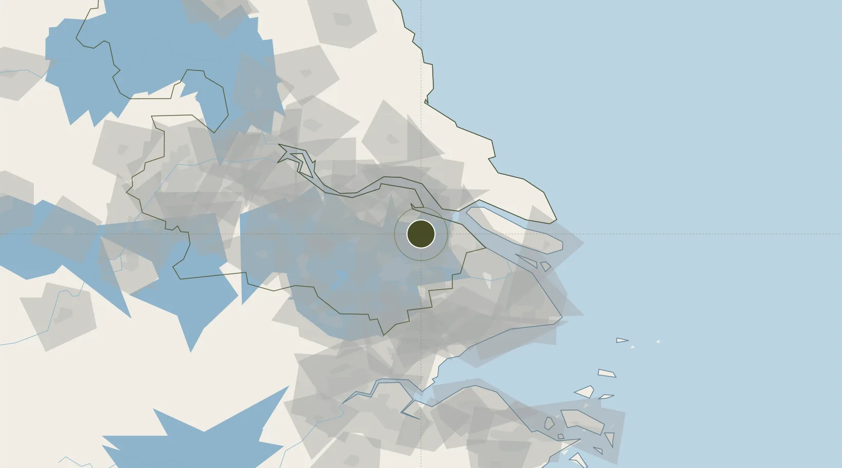
31.6069°, 120.8011°
126,400 ha
Zone area
22.7 km
Nearest port
37.2 km
Nearest airport

Gateway access

Nearest neighbours — logibook spatial index (haversine) over the source coordinates

Zone profile

Zone type
Export Processing Zone
Open Zone Map
Region
Jiangsu
Open Zone Map
Status
Active
Open Zone Map
Management
Public
Open Zone Map
Operator
Working Committee of Jiangsu Changshu Southeast Economic Development Zone
Open Zone Map
Legal framework
Overall Plan of Changshu Economic and Technological Development Zone (2012-2030(revised))
Open Zone Map

Location

Location of ozm-1483
Natural Earth 10m (public domain) · Jiangsu · ozm-1483 · 31.61, 120.80GoogleOSMYandex

Nearby Logistics Neighbours

Ports
  1. 1Changshu23 km
  2. 2Taicang38 km
  3. 3Nantong44 km
  4. 4Zhangjiangang55 km
  5. 5Jiangyin64 km
Nearest neighbours — logibook spatial index (haversine) over the source coordinates
Airports
  1. 1Sunan Shuofang International Airport37 km
  2. 2Chenghu General Airport44 km
  3. 3Suzhou Guangfu Airport54 km
  4. 4Nantong Xingdong International Airport55 km
  5. 5Shanghai Dachang Air Base66 km
Nearest neighbours — logibook spatial index (haversine) over the source coordinates
Cities
  1. 1Zouxiang14 km
  2. 2Changshu Pt15 km
  3. 3Kunshan33 km
  4. 4Suzhou36 km
  5. 5Taicang Pt38 km
Nearest neighbours — logibook spatial index (haversine) over the source coordinates
DatabookThe Record of Consolidated Knowledge
China beyond logistics?
Browse databook

All Sources

Trade ZonesOpen Zone Map
CC BY
Portsthe NGA World Port Index
Public domain (US gov)
AirportsOurAirports
Public domain
LocationsUN/LOCODE
UN/LOCODE — free
← China trade zones